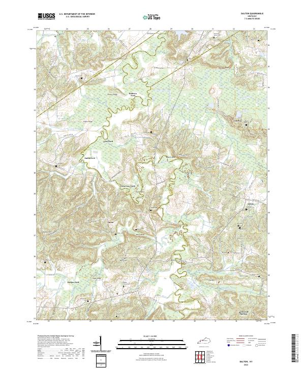
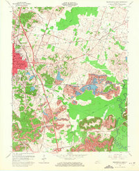
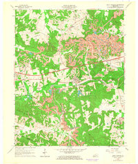
2022 Map of Dalton
USGS Topo · Published 2022About this map
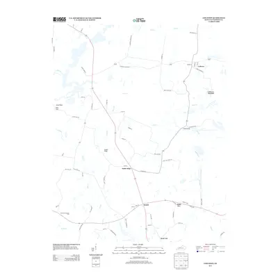
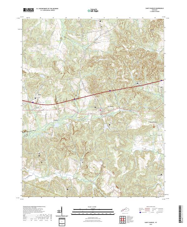
The Tradewater River carves a winding path through this corner of western Kentucky, serving as a natural boundary for Caldwell, Hopkins, Webster, and Crittenden counties. The landscape is defined by its series of historic river crossings, including Baldwin Ford, Utley Ford, and Smith Ford, reflecting an era where local travel depended on these specific low-water points. Elevated ridges like Hickory Ridge and Poplar Ridge rise above the river bottomlands, while family-named landmarks such as Tom Gray Ford and Morse Bluff provide specific points of reference for local historians.
Find a feature on this map
110 named features on this map. Tap any name to fly to it.
Don’t see what you’re looking for? This feature index may not catch every label — zoom into the map to look around manually.
Map Details
Editions of this 2022 Dalton Map
This is the sole edition of this map. No revisions or reprints were ever made.
Historical Maps of Smith Ford Through Time
33 maps found
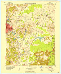
1953 Madisonville East
Hopkins County, KY
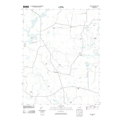
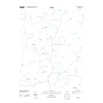
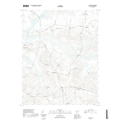
1954 Coiltown
Hopkins County, KY
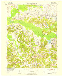
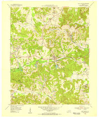
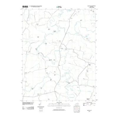
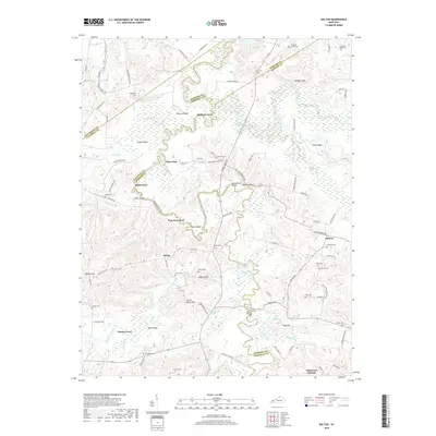
1954 Dalton
Hopkins County, KY
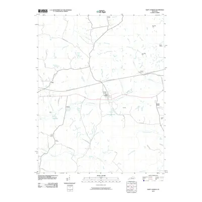
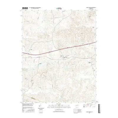
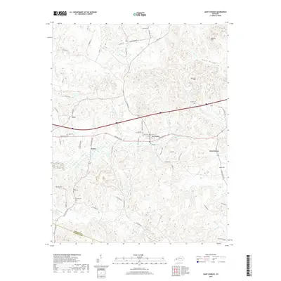
1954 Saint Charles
Hopkins County, KY
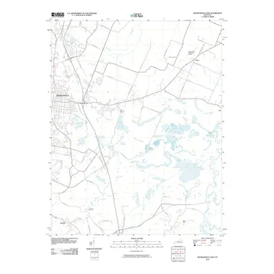
1954 Slaughtersville
Hopkins County, KY
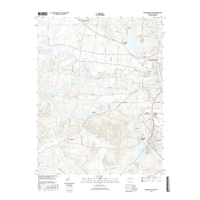
1962 Madisonville West
Hopkins County, KY
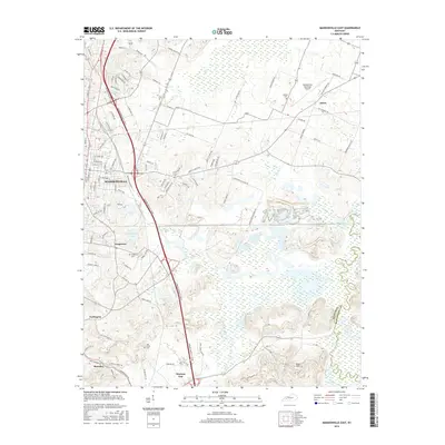
1963 Madisonville East
Hopkins County, KY
1963 Saint Charles
Hopkins County, KY
2010 Coiltown
Hopkins County, KY
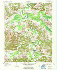
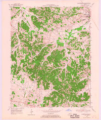
2010 Dalton
Hopkins County, KY
2010 Madisonville East
Hopkins County, KY
2010 Madisonville West
Hopkins County, KY
2010 Saint Charles
Hopkins County, KY
2013 Coiltown
Hopkins County, KY
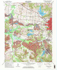
2013 Dalton
Hopkins County, KY
2013 Madisonville East
Hopkins County, KY
2013 Madisonville West
Hopkins County, KY
2013 Saint Charles
Hopkins County, KY
2016 Coiltown
Hopkins County, KY
2016 Dalton
Hopkins County, KY
2016 Madisonville East
Hopkins County, KY
2016 Madisonville West
Hopkins County, KY
2016 Saint Charles
Hopkins County, KY
2019 Coiltown
Hopkins County, KY
2019 Dalton
Hopkins County, KY
2019 Madisonville East
Hopkins County, KY
2019 Madisonville West
Hopkins County, KY
2019 Saint Charles
Hopkins County, KY
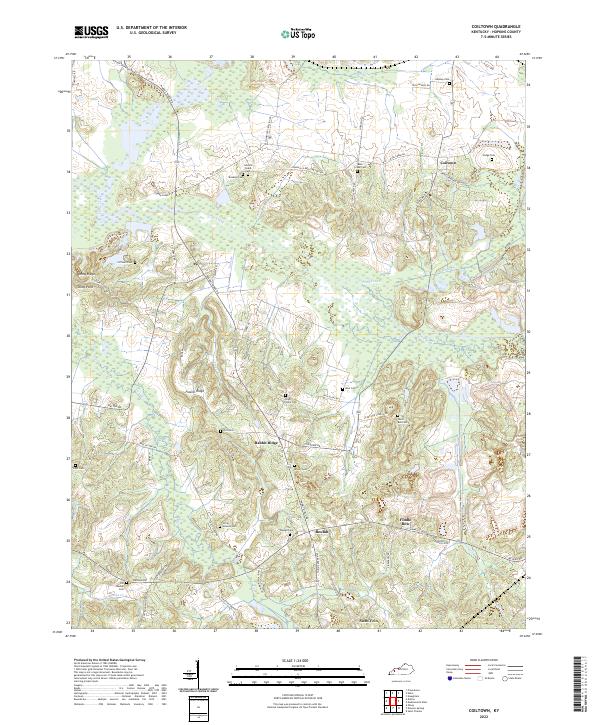
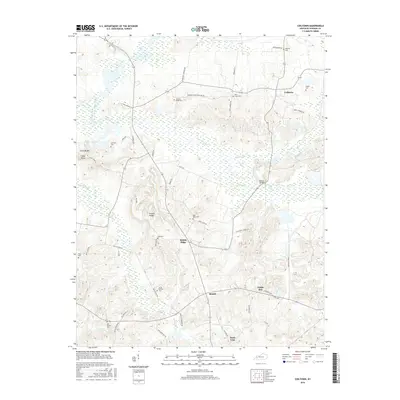
2022 Coiltown
Hopkins County, KY
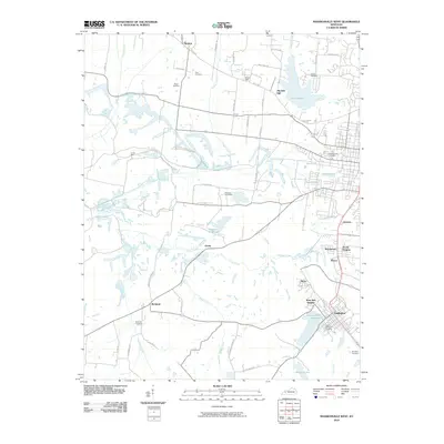
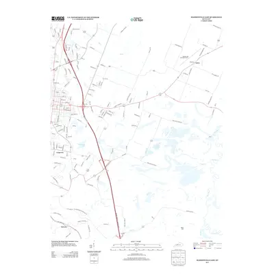
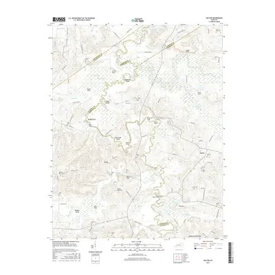
2022 Dalton
Hopkins County, KY
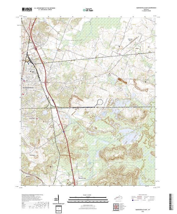
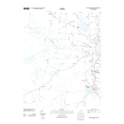
2022 Madisonville East
Hopkins County, KY
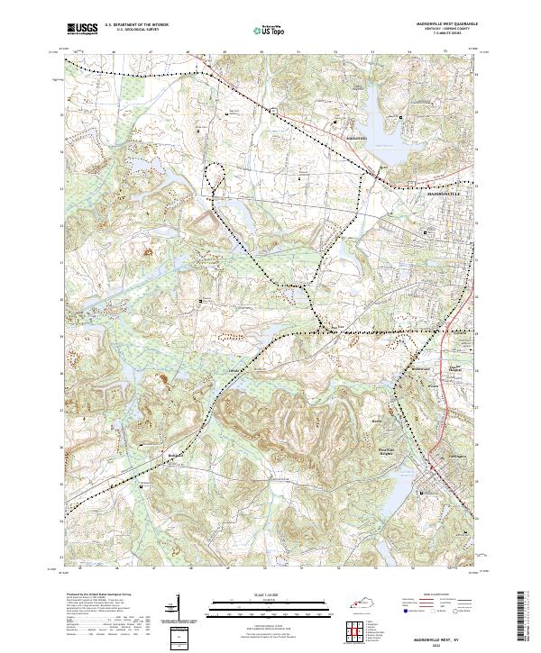
2022 Madisonville West
Hopkins County, KY
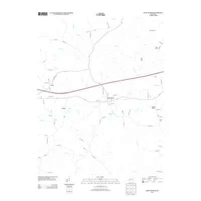
2022 Saint Charles
Hopkins County, KY