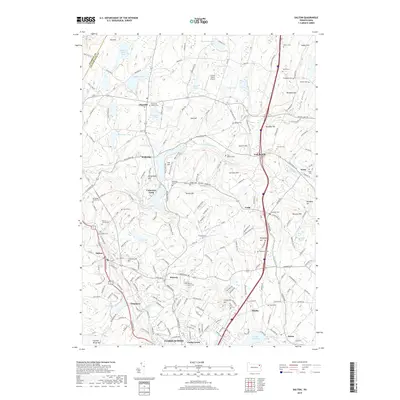
2019 Map of Dalton
USGS Topo · Published 2019About this map
Dalton and the surrounding boroughs of Waverly and Clarks Green anchor this survey of Lackawanna County, where the landscape transitions from established residential corridors to the drainage basins of the S Br Tunkhannock Cr. The map reveals a dense network of local family and community history, evidenced by numerous burial sites such as the Fleetville Baptist Cem, Dalton Jewish Cem, and the small Dreischer Family Cem. To the north, the terrain rises toward Fairground Hill and Bull Hill, while the local economy is reflected in features like the Grayce Farms Airport and a series of managed waterways including Griffin Reservoir and Lily Lake. The survey details the persistent rural character of settlements like Fleetville and Wallsville even as the southern edge of the quadrangle shows the suburban expansion of Clarks Summit.
Find a feature on this map
202 named features on this map. Tap any name to fly to it.
Don’t see what you’re looking for? This feature index may not catch every label — zoom into the map to look around manually.
Map Details
Editions of this 2019 Dalton Map
This is the sole edition of this map. No revisions or reprints were ever made.
Other maps of this area

1889 · Scranton
USGS Topo · 1:62,500

1891 · Scranton
USGS Topo · 1:62,500

1892 · Dundaff
USGS Topo · 1:62,500

1893 · Pittston
USGS Topo · 1:62,500

1893 · Scranton
USGS Topo · 1:62,500

1943 · Scranton
USGS Topo · 1:125,000

1946 · Tunkhannock
USGS Topo · 1:62,500

1946 · Dalton
USGS Topo · 1:24,000

1946 · Olyphant
USGS Topo · 1:24,000

1946 · Ransom
USGS Topo · 1:24,000