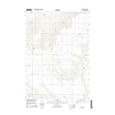
2015 Map of Dalzell
USGS Topo · Published 2015About this map
Dalzell serves as the primary focal point in this portion of Meade County, situated where Dalzell Rd and Wilburn Ln meet. The landscape is defined by a network of intermittent watercourses that carve through the prairie, most notably the Belle Fourche River which clips the northwest corner of the survey. These drainages, such as Bradley Draw and Trussman Draw, dictate the path of local corridors like River Rd and Linn Rd.
Find a feature on this map
20 named features on this map. Tap any name to fly to it.
Don’t see what you’re looking for? This feature index may not catch every label — zoom into the map to look around manually.
Map Details
Editions of this 2015 Dalzell Map
This is the sole edition of this map. No revisions or reprints were ever made.
Other maps of this area

1953 · Rapid City
USGS Topo · 1:250,000

1954 · Dalzell SE
USGS Topo · 1:24,000

1954 · Dalzell NW
USGS Topo · 1:24,000

1954 · Wasta NE
USGS Topo · 1:24,000

1954 · Dalzell
USGS Topo · 1:24,000

1954 · Wasta NW
USGS Topo · 1:24,000

1954 · Dalzell NE
USGS Topo · 1:24,000

1954 · Elm Springs
USGS Topo · 1:24,000

1954 · Boneita Springs
USGS Topo · 1:24,000

1957 · Rapid City
USGS Topo · 1:250,000