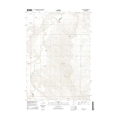
2015 Map of Dalzell SE
USGS Topo · Published 2015About this map
The Cheyenne River winds through the northwestern corner of this landscape, marking the natural boundary between Meade Co and Pennington Co. The terrain is defined by a complex network of drainages and high points, including the prominent Marvin Butte and the sharp overlook at Poverty Point. A series of significant landforms like Dalzell Canyon, Big Canyon, and Little Canyon illustrate the erosive power of the local waterways on the South Dakota plains.
Find a feature on this map
14 named features on this map. Tap any name to fly to it.
Don’t see what you’re looking for? This feature index may not catch every label — zoom into the map to look around manually.
Map Details
Editions of this 2015 Dalzell SE Map
This is the sole edition of this map. No revisions or reprints were ever made.
Other maps of this area

1953 · Rapid City
USGS Topo · 1:250,000

1954 · Dalzell SE
USGS Topo · 1:24,000

1954 · Dalzell NW
USGS Topo · 1:24,000

1954 · Wasta NE
USGS Topo · 1:24,000

1954 · Dalzell
USGS Topo · 1:24,000

1954 · Wasta NW
USGS Topo · 1:24,000

1954 · Dalzell NE
USGS Topo · 1:24,000

1955 · Pedro NW
USGS Topo · 1:24,000

1955 · Creighton
USGS Topo · 1:24,000

1957 · Rapid City
USGS Topo · 1:250,000