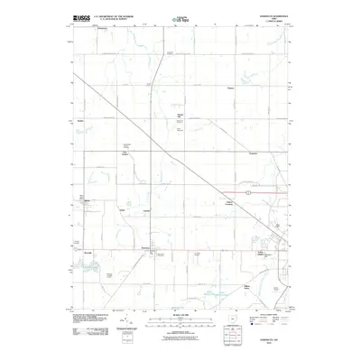
2010 Map of Damascus
USGS Topo · Published 2010About this map
Damascus and its surrounding rural landscapes in Columbiana and Mahoning counties are defined by a grid of agricultural land and scattered homesteads. This 2010 survey shows the area just west of Salem, where small crossroads communities like Beloit, Westville, and Garfield maintain their distinct identities along the rail and road corridors. The landscape is dotted with local history markers, including several significant burial sites such as the East Goshen Friends Cemetery and Lumberton Cemetery.
Find a feature on this map
69 named features on this map. Tap any name to fly to it.
Don’t see what you’re looking for? This feature index may not catch every label — zoom into the map to look around manually.
Map Details
Editions of this 2010 Damascus Map
This is the sole edition of this map. No revisions or reprints were ever made.
Other maps of this area

1906 · Ravenna
USGS Topo · 1:62,500

1908 · Warren
USGS Topo · 1:62,500

1908 · Ravenna
USGS Topo · 1:62,500

1909 · Alliance
USGS Topo · 1:62,500

1909 · Lisbon
USGS Topo · 1:62,500

1950 · Cleveland
USGS Topo · 1:250,000

1951 · Canton
USGS Topo · 1:250,000

1952 · Lake Milton
USGS Topo · 1:24,000

1952 · Canfield
USGS Topo · 1:24,000

1952 · Alliance
USGS Topo · 1:24,000