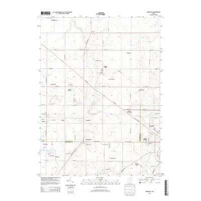
2013 Map of Damascus
USGS Topo · Published 2013About this map
The border of Mahoning and Columbiana counties bisects this rural Ohio landscape, where the village of Damascus serves as a central point of reference. This agricultural and suburban corridor shows a transition from small crossroads like Patmos and Snodes to the expanding western edge of Salem. The topography is defined by the headwaters of several drainages, including Mill Cr and the Middle Fork Little Beaver Creek, which carved the gentle terrain.
Find a feature on this map
125 named features on this map. Tap any name to fly to it.
Don’t see what you’re looking for? This feature index may not catch every label — zoom into the map to look around manually.
Map Details
Editions of this 2013 Damascus Map
This is the sole edition of this map. No revisions or reprints were ever made.
Other maps of this area

1906 · Ravenna
USGS Topo · 1:62,500

1908 · Warren
USGS Topo · 1:62,500

1908 · Ravenna
USGS Topo · 1:62,500

1909 · Alliance
USGS Topo · 1:62,500

1909 · Lisbon
USGS Topo · 1:62,500

1950 · Cleveland
USGS Topo · 1:250,000

1951 · Canton
USGS Topo · 1:250,000

1952 · Lake Milton
USGS Topo · 1:24,000

1952 · Canfield
USGS Topo · 1:24,000

1952 · Alliance
USGS Topo · 1:24,000