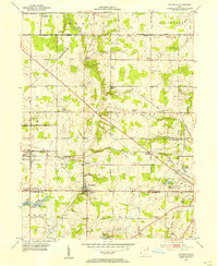
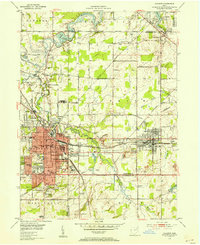
1952 Map of Damascus
USGS Topo · Published 1954About this map
Damascus sits at the intersection of Mahoning and Columbiana counties, anchoring a rural landscape defined by the Pennsylvania railroad corridor in the early 1950s. The village of Beloit serves as a significant rail point, featuring a dense network of tracks and a nearby landing strip. This period shows the agricultural heart of the region punctuated by community institutions like the Township School, Beech Ridge Church, and Wilbur Church.
Find a feature on this map
50 named features on this map. Tap any name to fly to it.
Don’t see what you’re looking for? This feature index may not catch every label — zoom into the map to look around manually.
Map Details
Editions of this 1952 Damascus Map
This is the sole edition of this map. No revisions or reprints were ever made.
Other maps of this area
1906 · Ravenna
USGS Topo · 1:62,500
1908 · Warren
USGS Topo · 1:62,500
1908 · Ravenna
USGS Topo · 1:62,500
1909 · Alliance
USGS Topo · 1:62,500
1909 · Lisbon
USGS Topo · 1:62,500

1950 · Cleveland
USGS Topo · 1:250,000

1951 · Canton
USGS Topo · 1:250,000
1952 · Lake Milton
USGS Topo · 1:24,000
1952 · Canfield
USGS Topo · 1:24,000
1952 · Alliance
USGS Topo · 1:24,000