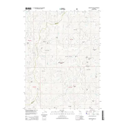
2015 Map of Damnation Peak
USGS Topo · Published 2015About this map
Damnation Peak and the high ridges of the Trinity Mountains dominate this landscape within the Shasta National Forest. The geography is defined by a dense network of gulches and gaps, including the curiously named Budweiser Gap and Wild Bill Gulch. To the northwest, the fingers of Trinity Lake reach into the terrain near Nelson Creek Gap. The map reveals a complex system of fire roads and trails navigating steep ridges like Mosquito Creek Ridge and Topnotch Ridge. For those tracing local history, the labeling of features like The Incline and Station Gulch suggests the legacy of early industrial or forestry access in these highlands. Landmarks such as Lookout Point and Damnation Pass provide specific points of orientation for researchers mapping the historical movement through this portion of the Trinity-Shasta county line.
Find a feature on this map
56 named features on this map. Tap any name to fly to it.
Don’t see what you’re looking for? This feature index may not catch every label — zoom into the map to look around manually.
Map Details
Editions of this 2015 Damnation Peak Map
This is the sole edition of this map. No revisions or reprints were ever made.
Other maps of this area

1886 · Shasta
USGS Topo · 1:250,000

1890 · Red Bluff
USGS Topo · 1:250,000

1894 · Red Bluff
USGS Topo · 1:250,000

1894 · Shasta
USGS Topo · 1:250,000

1901 · Redding
USGS Topo · 1:125,000

1913 · Weaverville
USGS Topo · 1:125,000

1923 · Sawyers Bar
USGS Topo · 1:125,000

1931 · Etna
USGS Topo · 1:96,000

1934 · Etna
USGS Topo · 1:125,000

1935 · Dunsmuir
USGS Topo · 1:125,000