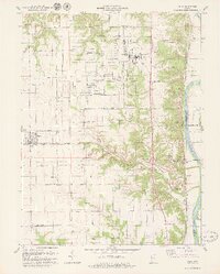
1978 Map of Dana
USGS Topo · Published 1979About this map
The Newport Army Ammunition Plant dominates the northern landscape, a sprawling industrial footprint surrounded by a network of rural cemeteries and family-named landmarks. This late-1970s view reveals a transition from heavy industry to local heritage, featuring the Ernie Pyle Rest Park south of Dana. Along the eastern edge, the Wabash River serves as the boundary for Vermillion Co and Parke Co, where an Abandoned Canal runs parallel to the modern watercourse.
Find a feature on this map
47 named features on this map. Tap any name to fly to it.
Don’t see what you’re looking for? This feature index may not catch every label — zoom into the map to look around manually.
Map Details
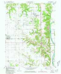
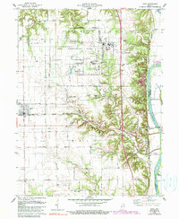
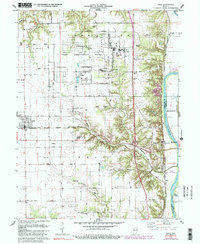
Editions of this 1978 Dana Map
4 editions found
Other maps of this area

1947 · Ridge Farm
USGS Topo · 1:62,500

1947 · Paris
USGS Topo · 1:62,500

1949 · Paris
USGS Topo · 1:62,500

1951 · Clinton
USGS Topo · 1:24,000

1951 · Mecca
USGS Topo · 1:24,000

1951 · Saint Bernice
USGS Topo · 1:24,000

1953 · Indianapolis
USGS Topo · 1:250,000

1955 · Kingman
USGS Topo · 1:24,000

1955 · Humrick
USGS Topo · 1:24,000

1955 · Scottland
USGS Topo · 1:24,000