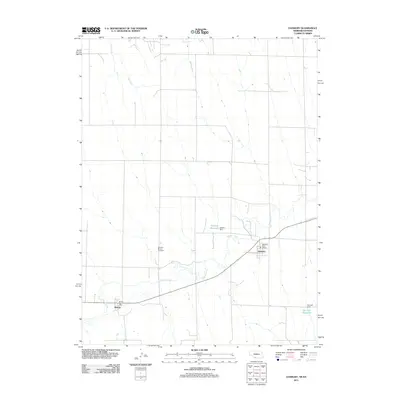
2011 Map of Danbury
USGS Topo · Published 2011About this map
Danbury and Marion anchor this agricultural landscape along the Nebraska-Kansas border, situated along the winding course of Beaver Creek. The map documents the vital infrastructure of these small prairie communities during the early 21st century, centered on local hubs like the Danbury Post Office and the Marion Post Office. The local geography is defined by a series of north-south drainages including Ash Creek and Buffalo Creek, which feed into the primary valley where the settlements are located.
Find a feature on this map
13 named features on this map. Tap any name to fly to it.
Don’t see what you’re looking for? This feature index may not catch every label — zoom into the map to look around manually.
Map Details
Editions of this 2011 Danbury Map
This is the sole edition of this map. No revisions or reprints were ever made.
Other maps of this area

1951 · Oberlin
USGS Topo · 1:62,500

1951 · Kanona
USGS Topo · 1:62,500

1954 · McCook
USGS Topo · 1:250,000

1954 · Goodland
USGS Topo · 1:250,000

1956 · Goodland
USGS Topo · 1:250,000

1957 · McCook
USGS Topo · 1:250,000

1957 · Goodland
USGS Topo · 1:250,000

1957 · Danbury
USGS Topo · 1:24,000

1957 · Lebanon
USGS Topo · 1:24,000

1957 · McCook SE
USGS Topo · 1:24,000