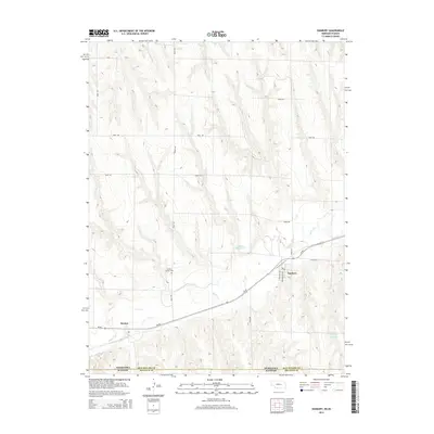
2014 Map of Danbury
USGS Topo · Published 2014About this map
Beaver Cr meanders through the southern portion of this region, providing the primary drainage for a landscape defined by the drainage basins of Ash Cr and Buffalo Cr. The small community of Danbury sits near the eastern edge of the survey, where Fairpoint Ave and Grandville Ave form the local street grid near the intersection with Ne-89. To the west, the settlement of Marion appears along the same highway corridor, illustrating the linear development pattern characteristic of this portion of the Nebraska-Kansas border region.
Find a feature on this map
22 named features on this map. Tap any name to fly to it.
Don’t see what you’re looking for? This feature index may not catch every label — zoom into the map to look around manually.
Map Details
Editions of this 2014 Danbury Map
This is the sole edition of this map. No revisions or reprints were ever made.
Other maps of this area

1951 · Oberlin
USGS Topo · 1:62,500

1951 · Kanona
USGS Topo · 1:62,500

1954 · McCook
USGS Topo · 1:250,000

1954 · Goodland
USGS Topo · 1:250,000

1956 · Goodland
USGS Topo · 1:250,000

1957 · McCook
USGS Topo · 1:250,000

1957 · Goodland
USGS Topo · 1:250,000

1957 · Danbury
USGS Topo · 1:24,000

1957 · Lebanon
USGS Topo · 1:24,000

1957 · McCook SE
USGS Topo · 1:24,000