
1949 Map of Daniels Landing
USGS Topo · Published 1953About this map
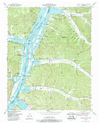
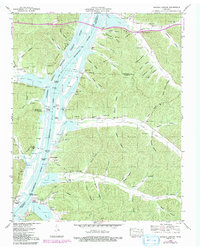
Kentucky Lake and the Tennessee River dominate this West Tennessee landscape, where the valley was fundamentally reshaped by the mid-century hydroelectric and navigation projects of the Tennessee Valley Authority. Numerous river landings, such as Daniels Landing and Brevards Landing, reflect the historic reliance on waterborne commerce and transport along the river's winding path through the counties of Decatur, Benton, Humphreys, and Perry. The presence of the National Wildlife Refuge indicates the era's transition toward conservation and managed floodplains.
Find a feature on this map
81 named features on this map. Tap any name to fly to it.
Don’t see what you’re looking for? This feature index may not catch every label — zoom into the map to look around manually.
Map Details
Editions of this 1949 Daniels Landing Map
3 editions found
Other maps of this area

1936 · Hurricane Mills
USGS Topo · 1:24,000

1936 · Pine View
USGS Topo · 1:24,000

1936 · Daniels Landing
USGS Topo · 1:24,000

1936 · Chestnut Grove
USGS Topo · 1:24,000

1936 · Jeannette
USGS Topo · 1:24,000

1936 · Sugar Tree
USGS Topo · 1:24,000

1936 · Lobelville
USGS Topo · 1:24,000

1936 · Rockport
USGS Topo · 1:24,000

1936 · Hustburg
USGS Topo · 1:24,000
1949 · Hustburg
USGS Topo · 1:24,000