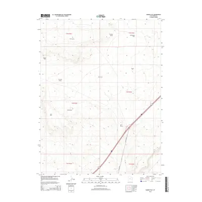
2014 Map of Danish Flat
USGS Topo · Published 2014About this map
Danish Flat serves as the central focal point of this eastern Utah landscape, defined by a significant concentration of energy extraction infrastructure in the early 21st century. The map reveals an extensive network of petroleum resources, including the Danish Wash Gas and Oil Field and the Cisco Springs Gas and Oil Field to the north and west, while the Agate Oil Field and Gravel Pile Oil Field occupy the eastern and central sections. This industrial footprint is integrated into a terrain of high plateaus and alluvial basins, where drainage systems like Danish Wash and Cottonwood Wash cut through the arid soil.
Find a feature on this map
17 named features on this map. Tap any name to fly to it.
Don’t see what you’re looking for? This feature index may not catch every label — zoom into the map to look around manually.
Map Details
Editions of this 2014 Danish Flat Map
This is the sole edition of this map. No revisions or reprints were ever made.
Other maps of this area

1885 · East Tavaputs
USGS Topo · 1:250,000

1885 · La Sal
USGS Topo · 1:250,000

1954 · Westwater 4 SW
USGS Topo · 1:24,000

1954 · Mt. Waas 1 NW
USGS Topo · 1:24,000

1954 · Coates Creek
USGS Topo · 1:62,500

1956 · Moab
USGS Topo · 1:250,000

1956 · Grand Junction
USGS Topo · 1:250,000

1958 · Cisco
USGS Topo · 1:62,500

1959 · Grand Junction
USGS Topo · 1:250,000

1959 · Moab
USGS Topo · 1:250,000