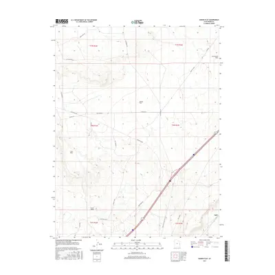
2017 Map of Danish Flat
USGS Topo · Published 2017About this map
Danish Flat and the surrounding desert corridor of eastern Utah are defined by industrial development and water management in this 2017 survey. The landscape is marked by the presence of the Agate Oil Field and Agate Siding, illustrating the region's connection to petroleum extraction and rail transport. At the southern edge, the small settlement of Grand Valley and the locality of Agate anchor the map, while terrain features like Cisco Mesa overlook the dry drainage basins of Cisco Wash and Cottonwood Wash. Human engineering is visible through a network of specialized roads and water infrastructure, including Broadhead Well, Jims Well, and the precisely named Straight Shot road. This map offers a detailed view of the infrastructure supporting resource extraction and transit in Grand County's desert flats.
Find a feature on this map
25 named features on this map. Tap any name to fly to it.
Don’t see what you’re looking for? This feature index may not catch every label — zoom into the map to look around manually.
Map Details
Editions of this 2017 Danish Flat Map
This is the sole edition of this map. No revisions or reprints were ever made.
Other maps of this area

1885 · East Tavaputs
USGS Topo · 1:250,000

1885 · La Sal
USGS Topo · 1:250,000

1954 · Westwater 4 SW
USGS Topo · 1:24,000

1954 · Mt. Waas 1 NW
USGS Topo · 1:24,000

1954 · Coates Creek
USGS Topo · 1:62,500

1956 · Moab
USGS Topo · 1:250,000

1956 · Grand Junction
USGS Topo · 1:250,000

1958 · Cisco
USGS Topo · 1:62,500

1959 · Grand Junction
USGS Topo · 1:250,000

1959 · Moab
USGS Topo · 1:250,000