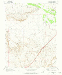
1970 Map of Danish Flat
USGS Topo · Published 1973About this map
The extraction of energy resources and the scars of transportation history mark this high-desert landscape in Grand County. Danish Flat serves as the central focal point, surrounded by industrial activity within the Agate Oil Field and the Cisco Springs Gas and Oil Field. Numerous drill holes are scattered across the terrain, indicating the intensive exploration of the era. The southern portion of the map is dominated by the corridor of the Denver and Rio Grande Western railroad, which runs alongside an Old Railroad Grade.
Find a feature on this map
13 named features on this map. Tap any name to fly to it.
Don’t see what you’re looking for? This feature index may not catch every label — zoom into the map to look around manually.
Map Details
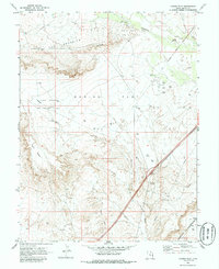
Editions of this 1970 Danish Flat Map
2 editions found
Other maps of this area

1885 · East Tavaputs
USGS Topo · 1:250,000

1885 · La Sal
USGS Topo · 1:250,000

1954 · Westwater 4 SW
USGS Topo · 1:24,000

1954 · Mt. Waas 1 NW
USGS Topo · 1:24,000

1954 · Coates Creek
USGS Topo · 1:62,500

1956 · Moab
USGS Topo · 1:250,000

1956 · Grand Junction
USGS Topo · 1:250,000

1958 · Cisco
USGS Topo · 1:62,500

1959 · Grand Junction
USGS Topo · 1:250,000

1959 · Moab
USGS Topo · 1:250,000