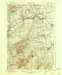
1913 Map of Dannemora
USGS Topo · Published 1938About this map
Dannemora Mtn dominates the northwestern landscape of this survey, looking down upon the high walls of the State Penitentiary and the adjacent village of Dannemora. The region’s early industrial character is defined by the Saranac River and Salmon River, which powered clusters of industry at Woods Mills and Lapham Mills. Transport in the early twentieth century was tied closely to the Delaware and Hudson railroad and its Chateaugay Branch, which navigated the foothills of the Adirondacks to connect the mining and timber interior with the lowland settlements.
Find a feature on this map
55 named features on this map. Tap any name to fly to it.
Don’t see what you’re looking for? This feature index may not catch every label — zoom into the map to look around manually.
Map Details
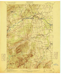
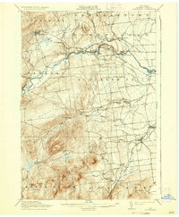
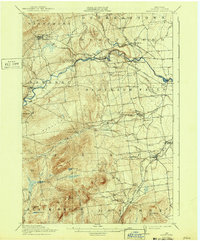
Editions of this 1913 Dannemora Map
5 editions found

Other maps of this area

1894 · Plattsburg
USGS Topo · 1:62,500

1895 · Mooers
USGS Topo · 1:62,500

1895 · Rouse Point
USGS Topo · 1:62,500

1895 · Willsboro
USGS Topo · 1:62,500

1895 · Ausable
USGS Topo · 1:62,500

1896 · Lake Placid
USGS Topo · 1:62,500

1898 · Lake Placid
USGS Topo · 1:62,500

1899 · Mooers
USGS Topo · 1:62,500

1903 · Ausable
USGS Topo · 1:62,500

1906 · Plattsburg
USGS Topo · 1:62,500