
1913 Map of Dannemora
USGS Topo · Published 1913About this map
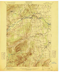
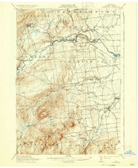
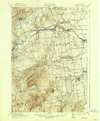
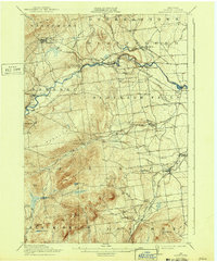
State Penitentiary anchors the northern high ground of this Clinton County landscape, situated on the slopes of Dannemora Mtn. This 1913 survey reveals a regional economy deeply tied to the corridors of the Saranac River and the Salmon River, where clusters of industry like Woods Mills and Lapham Mills signify the power of these waterways. The transportation network is dominated by the Delaware and Hudson RR and its Chateaugay Branch, which provided critical links for the settlements of Dannemora, Cadyville, and Morrisonville.
Find a feature on this map
48 named features on this map. Tap any name to fly to it.
Don’t see what you’re looking for? This feature index may not catch every label — zoom into the map to look around manually.
Map Details
Editions of this 1913 Dannemora Map
5 editions found
Other maps of this area

1894 · Plattsburg
USGS Topo · 1:62,500

1895 · Mooers
USGS Topo · 1:62,500

1895 · Rouse Point
USGS Topo · 1:62,500

1895 · Willsboro
USGS Topo · 1:62,500

1895 · Ausable
USGS Topo · 1:62,500

1896 · Lake Placid
USGS Topo · 1:62,500

1898 · Lake Placid
USGS Topo · 1:62,500

1899 · Mooers
USGS Topo · 1:62,500

1903 · Ausable
USGS Topo · 1:62,500

1906 · Plattsburg
USGS Topo · 1:62,500