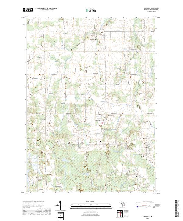
2023 Map of Dansville
USGS Topo · Published 2023About this map
Dansville serves as the central hub for this portion of Ingham County, where the convergence of W Dansville Rd and S Williamston Rd marks a localized pocket of development amidst a landscape dominated by agricultural grids and natural drainage systems. The survey reveals a sophisticated network of waterways essential to the region's land management, including the Doan Deer Creek, Mullen Drain, and Francis Drain. These features illustrate how the local environment has been adapted for farming and settlement over generations.
Find a feature on this map
81 named features on this map. Tap any name to fly to it.
Don’t see what you’re looking for? This feature index may not catch every label — zoom into the map to look around manually.
Map Details
Editions of this 2023 Dansville Map
This is the sole edition of this map. No revisions or reprints were ever made.
Other maps of this area

1908 · Fowlerville
USGS Topo · 1:62,500

1909 · Mason
USGS Topo · 1:62,500

1910 · Fowlerville
USGS Topo · 1:62,500

1911 · Mason
USGS Topo · 1:62,500

1919 · Stockbridge
USGS Topo · 1:62,500

1919 · Rives Junction
USGS Topo · 1:62,500

1921 · Rives Junction
USGS Topo · 1:62,500

1922 · Stockbridge
USGS Topo · 1:62,500

1942 · Stockbridge
USGS Topo · 1:62,500

1958 · Grand Rapids
USGS Topo · 1:250,000