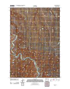
2011 Map of Dant
USGS Topo · Published 2011About this map
The Deschutes River carves a deep path through Wasco County, serving as the central geographic feature of this high-desert landscape. Along its banks, the map identifies small riverfront outposts such as Dant, Dixon, and Nena, which highlight the historical importance of the river corridor for access and settlement in an otherwise arid region. The presence of Two Springs Ranch and Williams Springs indicates the vital role of water management and livestock ranching in this part of Oregon.
Find a feature on this map
12 named features on this map. Tap any name to fly to it.
Don’t see what you’re looking for? This feature index may not catch every label — zoom into the map to look around manually.
Map Details
Editions of this 2011 Dant Map
This is the sole edition of this map. No revisions or reprints were ever made.
Other maps of this area

1928 · Madras
USGS Topo · 1:125,000

1930 · Dufur
USGS Topo · 1:125,000

1931 · Madras
USGS Topo · 1:125,000

1934 · Dufur
USGS Topo · 1:125,000

1953 · The Dalles
USGS Topo · 1:250,000

1955 · Bend
USGS Topo · 1:250,000

1956 · The Dalles
USGS Topo · 1:250,000

1957 · Bend
USGS Topo · 1:250,000

1957 · The Dalles
USGS Topo · 1:250,000

1958 · Bend
USGS Topo · 1:250,000