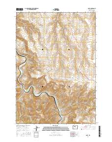
2017 Map of Dant
USGS Topo · Published 2017About this map
The Deschutes River carves a deep, winding path through this central Oregon landscape, serving as the primary geographic corridor for the settlement of Dant. This area is characterized by dramatic elevation changes, where the river's course is flanked by the rising slopes of the Mutton Mountains to the south. The terrain is heavily dissected by numerous canyons and draws, including Stag Canyon, Devil Canyon, and Middle Canyon, which drain the surrounding highlands toward the river basin.
Find a feature on this map
23 named features on this map. Tap any name to fly to it.
Don’t see what you’re looking for? This feature index may not catch every label — zoom into the map to look around manually.
Map Details
Editions of this 2017 Dant Map
This is the sole edition of this map. No revisions or reprints were ever made.
Other maps of this area

1928 · Madras
USGS Topo · 1:125,000

1930 · Dufur
USGS Topo · 1:125,000

1931 · Madras
USGS Topo · 1:125,000

1934 · Dufur
USGS Topo · 1:125,000

1953 · The Dalles
USGS Topo · 1:250,000

1955 · Bend
USGS Topo · 1:250,000

1956 · The Dalles
USGS Topo · 1:250,000

1957 · Bend
USGS Topo · 1:250,000

1957 · The Dalles
USGS Topo · 1:250,000

1958 · Bend
USGS Topo · 1:250,000