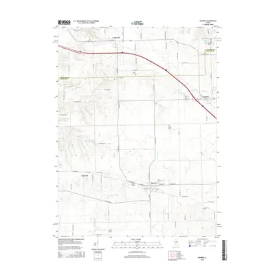
2015 Map of Danvers
USGS Topo · Published 2015About this map
Danvers serves as the central hub of this McLean County landscape, where the street grid is bisected by W Fork Sugar Cr and Middle Fork Sugar Cr. The surrounding countryside is defined by its transition from prairie farmland to the wooded drainage basins of Rock Cr and Funks Br. Genealogists will find a high density of rural burial sites, including White Oak Cem, Evergreen Cem, and the Hall-Barnard Cem, reflecting generations of settled family farms. Local infrastructure is highlighted by historic crossings such as Habecker Bridge and Fluegel Bridge. To the north, the smaller settlements of Congerville and Carlock flank the modern transit corridor, while the locality of Woodruff remains a distinct point of interest along the Whitten Br.
Find a feature on this map
76 named features on this map. Tap any name to fly to it.
Don’t see what you’re looking for? This feature index may not catch every label — zoom into the map to look around manually.
Map Details
Editions of this 2015 Danvers Map
This is the sole edition of this map. No revisions or reprints were ever made.
Other maps of this area

1927 · Danvers
USGS Topo · 1:62,500

1928 · Mackinaw
USGS Topo · 1:62,500

1930 · Danvers
USGS Topo · 1:62,500

1932 · Mackinaw
USGS Topo · 1:62,500

1949 · Mc Lean
USGS Topo · 1:62,500

1951 · McLean
USGS Topo · 1:62,500

1951 · Minier
USGS Topo · 1:62,500

1958 · Peoria
USGS Topo · 1:250,000

1961 · Peoria
USGS Topo · 1:250,000

1963 · Peoria
USGS Topo · 1:250,000