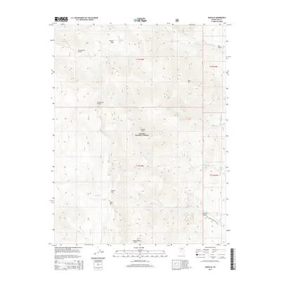
2014 Map of Danville
USGS Topo · Published 2014About this map
The Monitor Range dominates this portion of the Toiyabe National Forest, characterized by high-elevation topography and vital water sources in a desert landscape. Hydrological features like Morgan Spring and the secluded Clear Lake serve as focal points for the surrounding terrain, while various drainage systems including Danville Cr and Wadsworth Cr carve deep paths through the mountains.
Find a feature on this map
26 named features on this map. Tap any name to fly to it.
Don’t see what you’re looking for? This feature index may not catch every label — zoom into the map to look around manually.
Map Details
Editions of this 2014 Danville Map
This is the sole edition of this map. No revisions or reprints were ever made.
Other maps of this area

1956 · Tonopah
USGS Topo · 1:250,000

1959 · Tonopah
USGS Topo · 1:250,000

1962 · Tonopah
USGS Topo · 1:250,000

1967 · Upper Fish Lake
USGS Topo · 1:24,000

1968 · Morey Peak
USGS Topo · 1:62,500

1968 · Fish Springs
USGS Topo · 1:62,500
1968 · Stargo Creek
USGS Topo · 1:24,000
1968 · Fish Springs
USGS Topo · 1:24,000

1971 · Barley Creek
USGS Topo · 1:24,000

1971 · Mosquito Creek
USGS Topo · 1:24,000