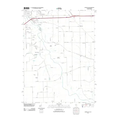
2012 Map of Danville SE
USGS Topo · Published 2012About this map
The Vermilion River carves a deep valley through this Illinois and Indiana borderland, defining a landscape marked by small rural hamlets and deep-rooted family landmarks. Settlement patterns follow the river and its many tributaries, including Hawbuck Cr, White Br, and Stoney Cr. To the west, the communities of Grape Creek, Brookville, and Himrod sit atop the bluffs, while the east is anchored by the Indiana settlements of Rileysburg and Gessie.
Find a feature on this map
129 named features on this map. Tap any name to fly to it.
Don’t see what you’re looking for? This feature index may not catch every label — zoom into the map to look around manually.
Map Details
Editions of this 2012 Danville SE Map
This is the sole edition of this map. No revisions or reprints were ever made.
Other maps of this area

1899 · Danville
USGS Topo · 1:62,500

1900 · Danville
USGS Topo · 1:62,500

1947 · Ridge Farm
USGS Topo · 1:62,500

1948 · Danville NW
USGS Topo · 1:24,000

1949 · Danville SW
USGS Topo · 1:24,000

1950 · Danville SW
USGS Topo · 1:24,000

1950 · Danville NW
USGS Topo · 1:24,000

1950 · Danville SE
USGS Topo · 1:24,000

1950 · Danville NE
USGS Topo · 1:24,000

1951 · Danville NE
USGS Topo · 1:24,000