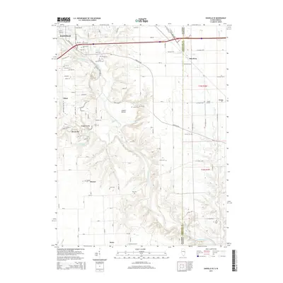
2015 Map of Danville SE
USGS Topo · Published 2015About this map
The Vermilion River carves a deep, winding path through this Illinois-Indiana borderland, defining the geography between Danville and smaller outlying communities. The landscape is characterized by its numerous small-scale settlements and an exceptionally high density of historic burial grounds, such as Sanhill Memorial Park Cem, Greenwood Cem, and Sandusky Cem. These features, along with the broad lowlands of Langley Bottom, suggest a long-established rural pattern where local genealogy is tied closely to the river's bends and the surrounding creeks.
Find a feature on this map
63 named features on this map. Tap any name to fly to it.
Don’t see what you’re looking for? This feature index may not catch every label — zoom into the map to look around manually.
Map Details
Editions of this 2015 Danville SE Map
This is the sole edition of this map. No revisions or reprints were ever made.
Other maps of this area

1899 · Danville
USGS Topo · 1:62,500

1900 · Danville
USGS Topo · 1:62,500

1947 · Ridge Farm
USGS Topo · 1:62,500

1948 · Danville NW
USGS Topo · 1:24,000

1949 · Danville SW
USGS Topo · 1:24,000

1950 · Danville SW
USGS Topo · 1:24,000

1950 · Danville NW
USGS Topo · 1:24,000

1950 · Danville SE
USGS Topo · 1:24,000

1950 · Danville NE
USGS Topo · 1:24,000

1951 · Danville NE
USGS Topo · 1:24,000