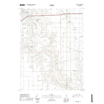
2021 Map of Danville SE
USGS Topo · Published 2021About this map
The Vermilion River carves a deep path through the landscape south of Danville, revealing a complex network of tributaries and rural settlements. In this 2021 survey, the drainage patterns of Stoney Creek and Haubuck Creek define the topography, leading down to the expansive Langley Bottom area. For genealogists and local historians, this map is exceptionally dense with small family and community burial grounds, including Sandusky Cemetery, Locket Cemetery, and Beck Cemetery, which are scattered among the agricultural fields and wooded draws.
Find a feature on this map
119 named features on this map. Tap any name to fly to it.
Don’t see what you’re looking for? This feature index may not catch every label — zoom into the map to look around manually.
Map Details
Editions of this 2021 Danville SE Map
This is the sole edition of this map. No revisions or reprints were ever made.
Other maps of this area

1899 · Danville
USGS Topo · 1:62,500

1900 · Danville
USGS Topo · 1:62,500

1947 · Ridge Farm
USGS Topo · 1:62,500

1948 · Danville NW
USGS Topo · 1:24,000

1949 · Danville SW
USGS Topo · 1:24,000

1950 · Danville SW
USGS Topo · 1:24,000

1950 · Danville NW
USGS Topo · 1:24,000

1950 · Danville SE
USGS Topo · 1:24,000

1950 · Danville NE
USGS Topo · 1:24,000

1951 · Danville NE
USGS Topo · 1:24,000