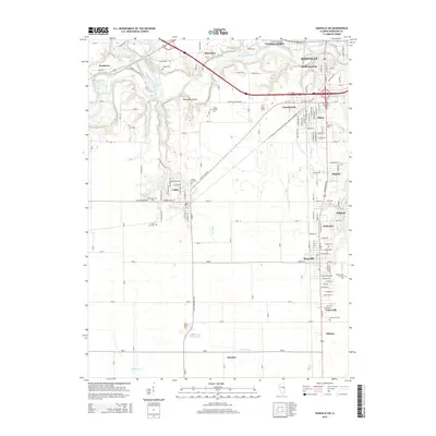
2015 Map of Danville SW
USGS Topo · Published 2015About this map
The Vermilion River and its major tributaries, including the Middle Fork Vermilion River and the Salt Fork, dictate the topography southwest of Danville. This landscape is densely populated with small residential pockets and industrial corridors, such as South Danville, Vandercook, and Tilton. The area south of the river is particularly rich in family and community history, evidenced by a high concentration of burial grounds including Wright Family Cem, Hooten Cem, and the Lithuanian Cem near Unionville.
Find a feature on this map
127 named features on this map. Tap any name to fly to it.
Don’t see what you’re looking for? This feature index may not catch every label — zoom into the map to look around manually.
Map Details
Editions of this 2015 Danville SW Map
This is the sole edition of this map. No revisions or reprints were ever made.
Other maps of this area

1899 · Danville
USGS Topo · 1:62,500

1900 · Danville
USGS Topo · 1:62,500

1931 · Fithian
USGS Topo · 1:48,000

1943 · Fithian
USGS Topo · 1:62,500

1947 · Ridge Farm
USGS Topo · 1:62,500

1948 · Danville NW
USGS Topo · 1:24,000

1949 · Danville SW
USGS Topo · 1:24,000

1950 · Danville SW
USGS Topo · 1:24,000

1950 · Danville NW
USGS Topo · 1:24,000

1950 · Danville SE
USGS Topo · 1:24,000