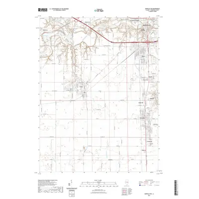
2021 Map of Danville SW
USGS Topo · Published 2021About this map
The Vermilion River carves a deep valley through the northern landscape of this region, separating Bucktown and Batestown from the urban reaches of Vermilion Heights and South Danville. South of the river, the terrain flattens into a grid of rural roads and established industrial-residential pockets like Tilton and Hegeler. For those researching local heritage, this map identifies numerous burial sites, including the Westville Lithuanian Cem and the Saints Peter and Paul Cem near Westville.
Find a feature on this map
154 named features on this map. Tap any name to fly to it.
Don’t see what you’re looking for? This feature index may not catch every label — zoom into the map to look around manually.
Map Details
Editions of this 2021 Danville SW Map
This is the sole edition of this map. No revisions or reprints were ever made.
Other maps of this area

1899 · Danville
USGS Topo · 1:62,500

1900 · Danville
USGS Topo · 1:62,500

1931 · Fithian
USGS Topo · 1:48,000

1943 · Fithian
USGS Topo · 1:62,500

1947 · Ridge Farm
USGS Topo · 1:62,500

1948 · Danville NW
USGS Topo · 1:24,000

1949 · Danville SW
USGS Topo · 1:24,000

1950 · Danville SW
USGS Topo · 1:24,000

1950 · Danville NW
USGS Topo · 1:24,000

1950 · Danville SE
USGS Topo · 1:24,000