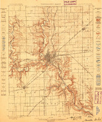
1984 Map of Danville
USGS Topo · Published 1985About this map
The Vermilion River and its multiple forks—the North Fork, Middle Fork, and Salt Fork—converge near Danville, shaping the landscape of eastern Illinois and western Indiana in the mid-1980s. This industrial and agricultural hub is defined by a dense network of transport, including Interstate 74 and the Norfolk and Western RR. The map captures a transitional era of land use, where extensive Strip Mines and a Strip Mine sprawl west of town, some of which have been reclaimed as recreational space within Kickapoo State Park.
Find a feature on this map
215 named features on this map. Tap any name to fly to it.
Don’t see what you’re looking for? This feature index may not catch every label — zoom into the map to look around manually.
Map Details
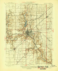
Editions of this 1984 Danville Map
This is the sole edition of this map. No revisions or reprints were ever made.
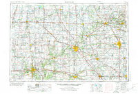
Historical Maps of Danville Through Time
7 maps found