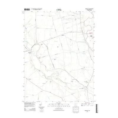
2013 Map of Darbyville
USGS Topo · Published 2013About this map
Big Darby Creek meanders through the heart of this central Ohio landscape, carving a wide valley that defines the local geography between Darbyville and Fox. This 2013 survey illustrates a region where generational farming remains the primary footprint, marked by named homesteads like Waycar Farm and Clemmons Farm. The rural infrastructure is highlighted by several small-scale aviation facilities, including White's Airport and the descriptively named Clarks Dream Strip Airport.
Find a feature on this map
71 named features on this map. Tap any name to fly to it.
Don’t see what you’re looking for? This feature index may not catch every label — zoom into the map to look around manually.
Map Details
Editions of this 2013 Darbyville Map
This is the sole edition of this map. No revisions or reprints were ever made.
Other maps of this area

1911 · Era
USGS Topo · 1:62,500

1913 · Era
USGS Topo · 1:62,500

1914 · Circleville
USGS Topo · 1:62,500

1923 · West Columbus
USGS Topo · 1:62,500

1925 · East Columbus
USGS Topo · 1:62,500

1925 · West Columbus
USGS Topo · 1:62,500

1943 · Era
USGS Topo · 1:62,500

1943 · Circleville
USGS Topo · 1:62,500

1943 · East Columbus
USGS Topo · 1:62,500

1947 · Columbus
USGS Topo · 1:250,000