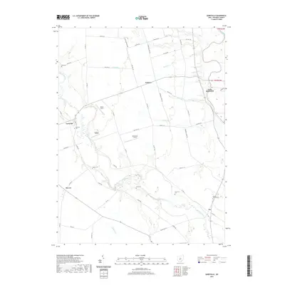
2019 Map of Darbyville
USGS Topo · Published 2019About this map
Big Darby Creek meanders through the heart of this central Ohio landscape, carving a wide valley floor as it flows toward its eventual confluence with the Scioto River near South Bloomfield. The area is characterized by a patchwork of agricultural lands and rural clusters, with the village of Darbyville serving as a historic anchor on the western bank of the creek. A network of township roads, such as London Rd and Commercial Point Rd, connects the scattered farmsteads and small settlements like Robtown and Pherson.
Find a feature on this map
57 named features on this map. Tap any name to fly to it.
Don’t see what you’re looking for? This feature index may not catch every label — zoom into the map to look around manually.
Map Details
Editions of this 2019 Darbyville Map
This is the sole edition of this map. No revisions or reprints were ever made.
Other maps of this area

1911 · Era
USGS Topo · 1:62,500

1913 · Era
USGS Topo · 1:62,500

1914 · Circleville
USGS Topo · 1:62,500

1923 · West Columbus
USGS Topo · 1:62,500

1925 · East Columbus
USGS Topo · 1:62,500

1925 · West Columbus
USGS Topo · 1:62,500

1943 · Era
USGS Topo · 1:62,500

1943 · Circleville
USGS Topo · 1:62,500

1943 · East Columbus
USGS Topo · 1:62,500

1947 · Columbus
USGS Topo · 1:250,000