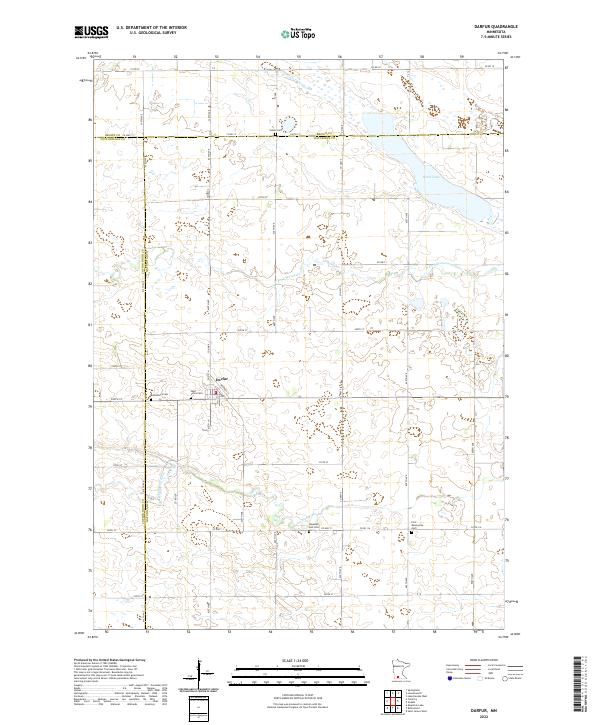
2022 Map of Darfur
USGS Topo · Published 2022About this map
Darfur sits at the heart of this agricultural landscape in southwestern Minnesota, serving as a focal point where Watonwan, Brown, and Cottonwood counties meet. The surrounding terrain is defined by the meandering courses of the Watonwan River and its northern branch, the N Fork Watonwan River, which drain the prairie lands. This map is particularly valuable for genealogical research, as it identifies several community burial grounds scattered across the townships, including Salem Cem, Bethlehem Cem, Saint Johns Cem, Haseman Post Cem, and First Mennonite Cem. These sites, often located near rural section corners or small water bodies like Wood Lake, mark the historical footprint of early settler families and religious congregations. The rigid grid of section roads, such as Co Hwy 4 and 300th St, illustrates the enduring influence of the Public Land Survey System on the modern geography of the region.
Find a feature on this map
55 named features on this map. Tap any name to fly to it.
Don’t see what you’re looking for? This feature index may not catch every label — zoom into the map to look around manually.
Map Details
Editions of this 2022 Darfur Map
This is the sole edition of this map. No revisions or reprints were ever made.
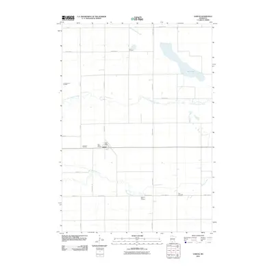
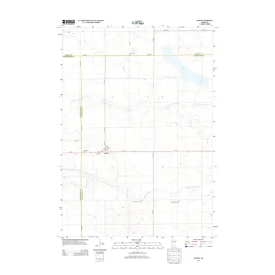
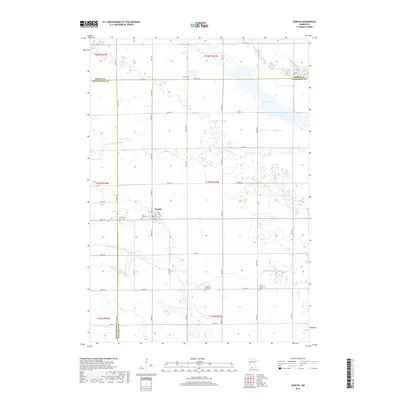
Historical Maps of Darfur Through Time
6 maps found