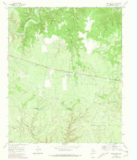
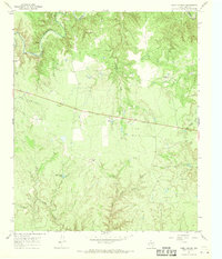
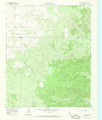
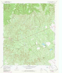
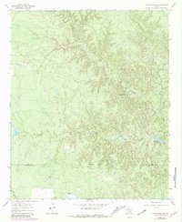
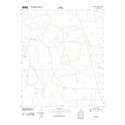
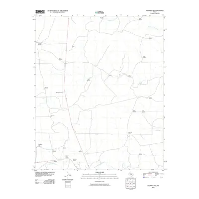
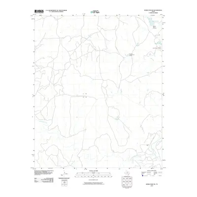
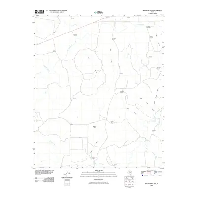
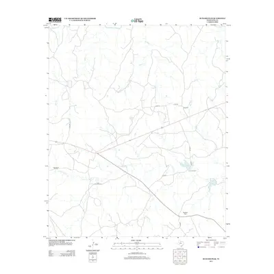
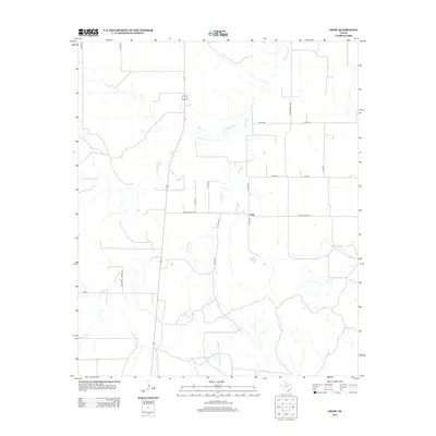
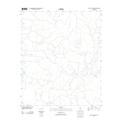
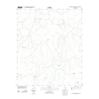
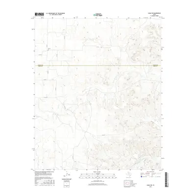
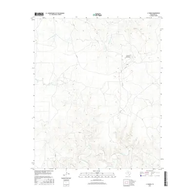
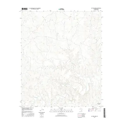
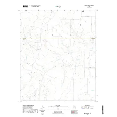
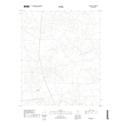
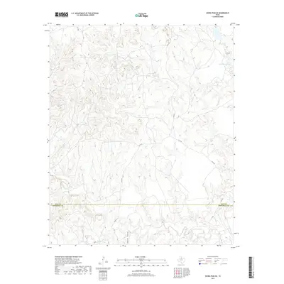
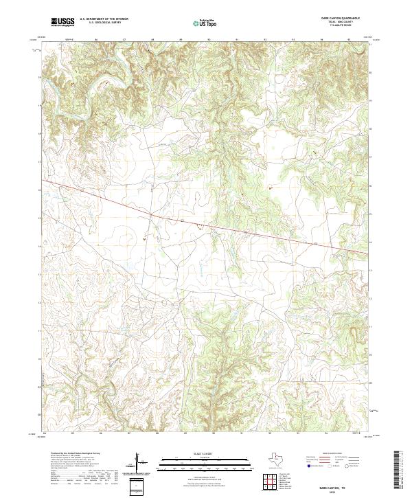
1967 Map of Dark Canyon
USGS Topo · Published 1981About this map
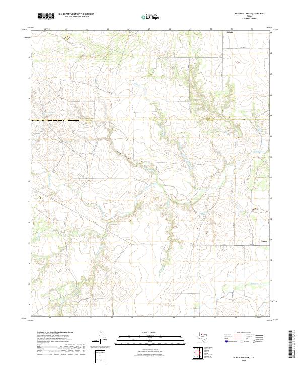
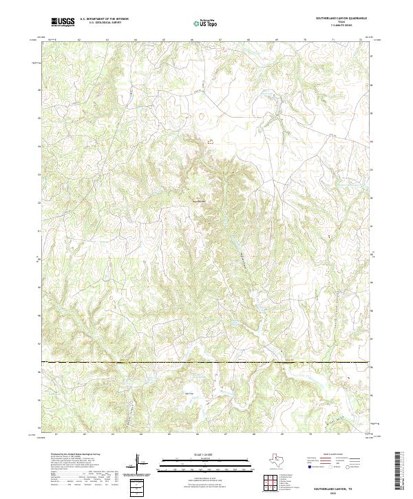
The South Wichita River defines the northern edge of this remote rangeland, where deep drainages like Dark Canyon and Buffalo Creek carve through the Texas landscape. During the late 1960s, the area remained a hub of livestock operations and resource extraction, anchored by the Bateman Ranch and smaller outposts such as Eight Camp and Pickett Pens. The map reveals a pastoral economy dependent on scattered water sources, including the Dark Canyon Tank and a network of windmills like Ash Windmill and Lobo Windmill. Evidence of industrial activity is present throughout the central and southern portions of the sheet, where numerous Oil Well sites and Drill Hole markers dot the terrain. Infrastructure is sparse, primarily consisting of the ranching camps, a major east-west Pipeline, and a historic Pack Trail winding through the hills near the river.
Find a feature on this map
23 named features on this map. Tap any name to fly to it.
Don’t see what you’re looking for? This feature index may not catch every label — zoom into the map to look around manually.
Map Details
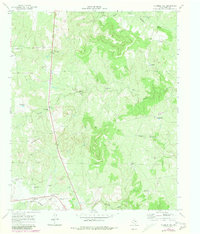
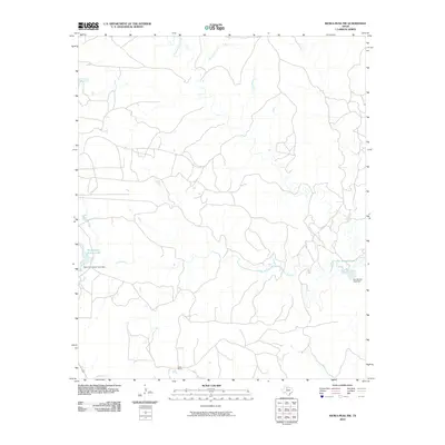
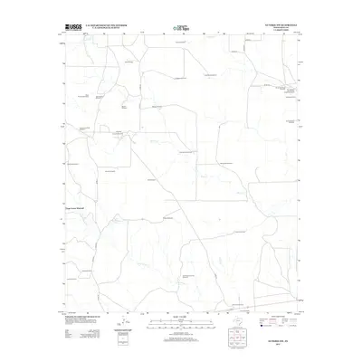
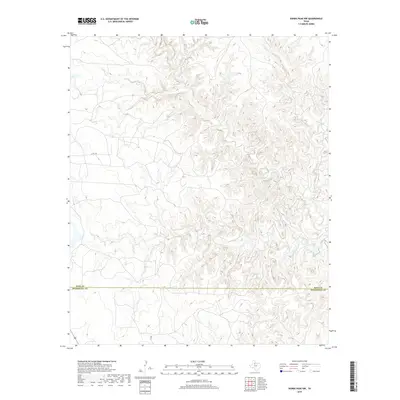
Editions of this 1967 Dark Canyon Map
2 editions found
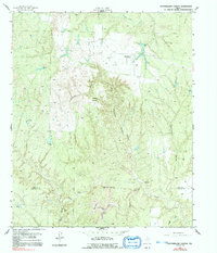
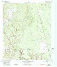
Historical Maps of King County Through Time
90 maps found
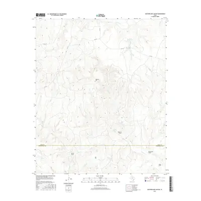
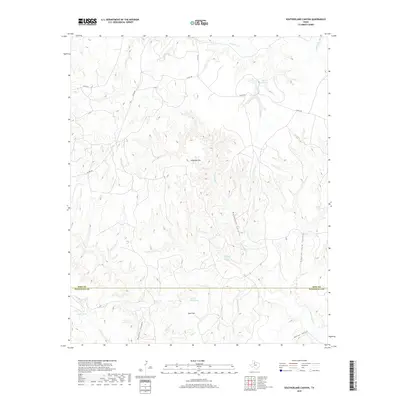
1958 Southerland Canyon
King County, TX
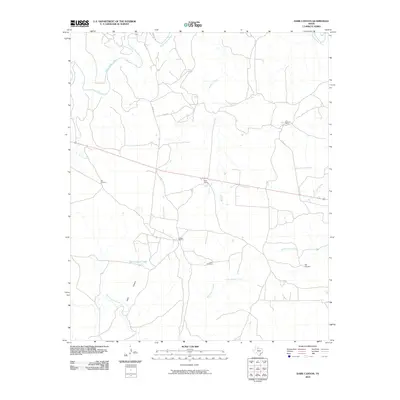
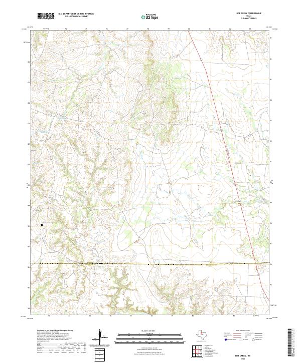
1959 Bob Creek
King County, TX
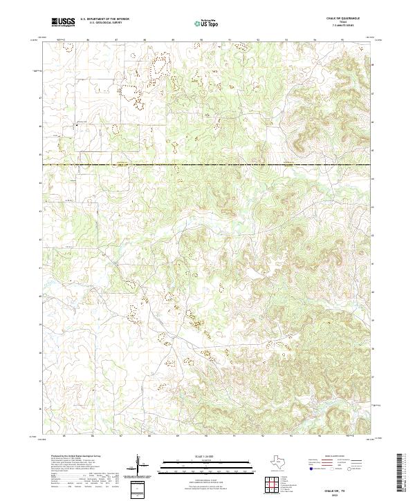
1966 Chalk SW
King County, TX
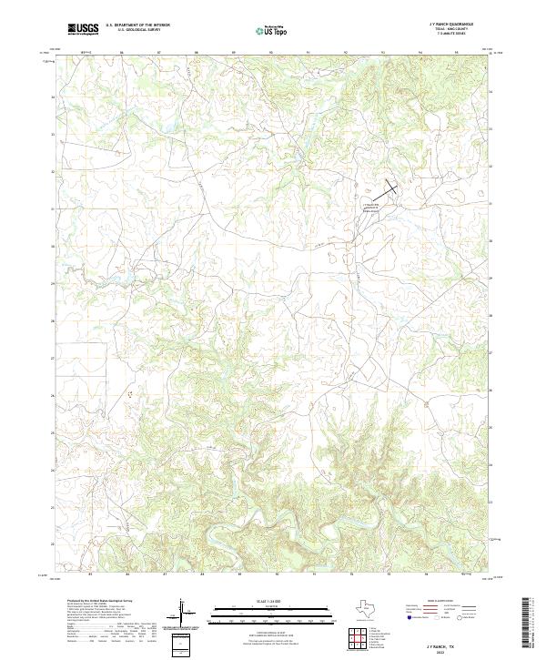
1966 J Y Ranch
King County, TX
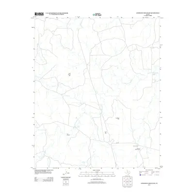
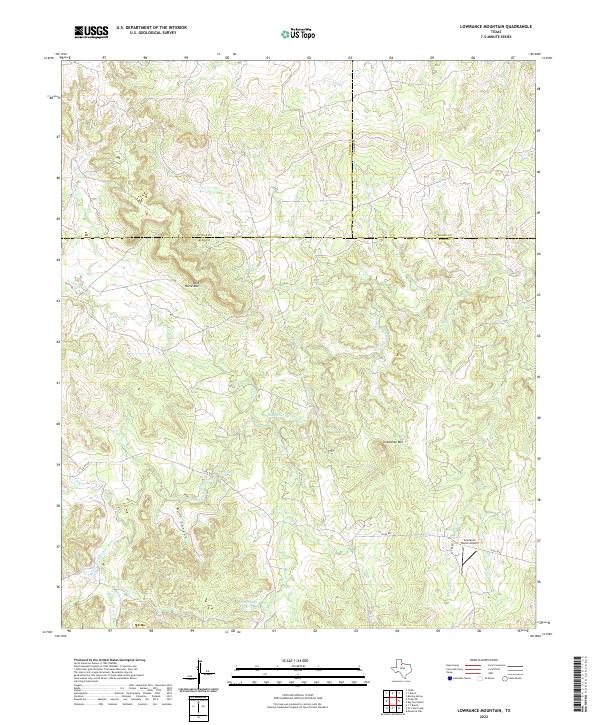
1966 Lowrance Mountain
King County, TX
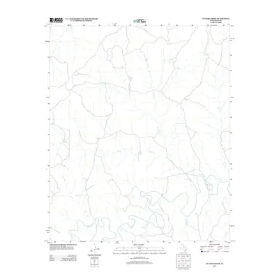
1966 Ox Yoke Creek
King County, TX
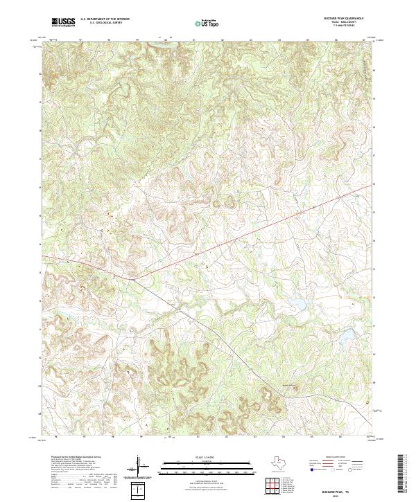
1967 Buzzard Peak
King County, TX
1967 Dark Canyon
King County, TX
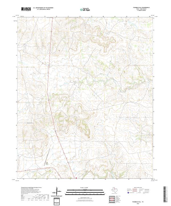
1967 Fourmile Hill
King County, TX
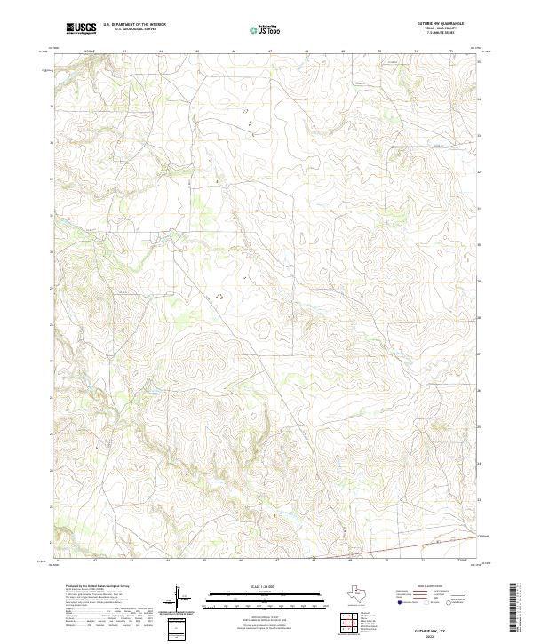
1967 Guthrie NW
King County, TX
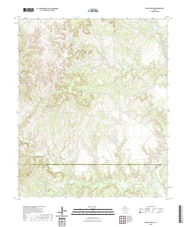
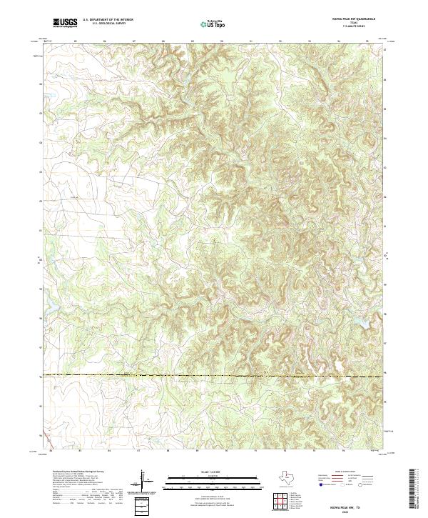
1967 Kiowa Peak NE
King County, TX
1967 Kiowa Peak NW
King County, TX
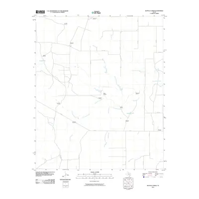
1968 Buffalo Creek
King County, TX
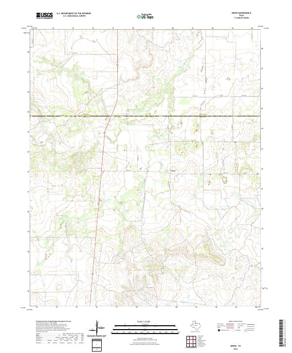
1968 Grow
King County, TX
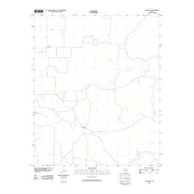
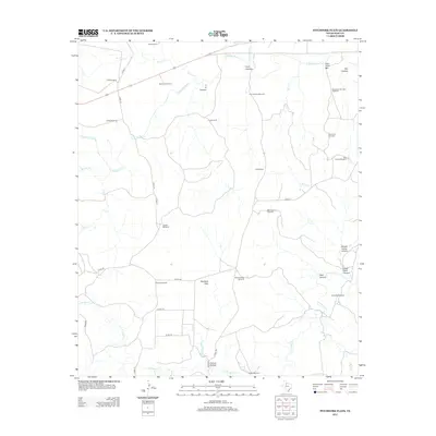
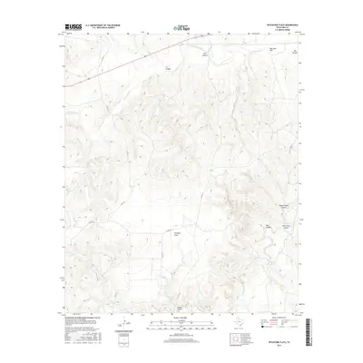
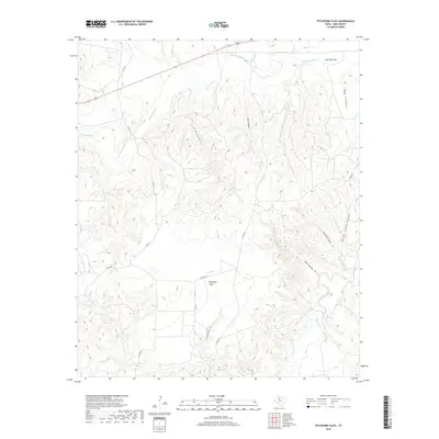
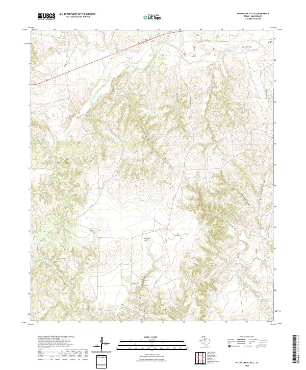
1968 Pitchfork Flats
King County, TX
2010 Bob Creek
King County, TX
2010 Buffalo Creek
King County, TX

2010 Buzzard Peak
King County, TX
2010 Chalk SW
King County, TX
2010 Dark Canyon
King County, TX
2010 Fourmile Hill
King County, TX
2010 Grow
King County, TX
2010 Guthrie NW
King County, TX
2010 J Y Ranch
King County, TX
2010 Kiowa Peak NE
King County, TX
2010 Kiowa Peak NW
King County, TX
2010 Lowrance Mountain
King County, TX
2010 Ox Yoke Creek
King County, TX
2010 Pitchfork Flats
King County, TX
2010 Southerland Canyon
King County, TX
2012 Bob Creek
King County, TX
2012 Buffalo Creek
King County, TX
2012 Buzzard Peak
King County, TX
2012 Chalk SW
King County, TX
2012 Dark Canyon
King County, TX
2012 Fourmile Hill
King County, TX
2012 Grow
King County, TX
2012 Guthrie NW
King County, TX
2012 J Y Ranch
King County, TX
2012 Kiowa Peak NE
King County, TX
2012 Kiowa Peak NW
King County, TX
2012 Lowrance Mountain
King County, TX
2012 Ox Yoke Creek
King County, TX
2012 Pitchfork Flats
King County, TX
2012 Southerland Canyon
King County, TX
2016 Bob Creek
King County, TX
2016 Buffalo Creek
King County, TX
2016 Buzzard Peak
King County, TX
2016 Chalk SW
King County, TX
2016 Dark Canyon
King County, TX
2016 Fourmile Hill
King County, TX

2016 Grow
King County, TX
2016 Guthrie NW
King County, TX
2016 J Y Ranch
King County, TX
2016 Kiowa Peak NE
King County, TX
2016 Kiowa Peak NW
King County, TX
2016 Lowrance Mountain
King County, TX
2016 Ox Yoke Creek
King County, TX
2016 Pitchfork Flats
King County, TX
2016 Southerland Canyon
King County, TX
2019 Bob Creek
King County, TX
2019 Buffalo Creek
King County, TX
2019 Buzzard Peak
King County, TX
2019 Chalk SW
King County, TX
2019 Dark Canyon
King County, TX
2019 Fourmile Hill
King County, TX
2019 Grow
King County, TX
2019 Guthrie NW
King County, TX
2019 J Y Ranch
King County, TX
2019 Kiowa Peak NE
King County, TX
2019 Kiowa Peak NW
King County, TX
2019 Lowrance Mountain
King County, TX
2019 Ox Yoke Creek
King County, TX
2019 Pitchfork Flats
King County, TX
2019 Southerland Canyon
King County, TX
2022 Bob Creek
King County, TX
2022 Buffalo Creek
King County, TX
2022 Buzzard Peak
King County, TX
2022 Chalk SW
King County, TX
2022 Dark Canyon
King County, TX
2022 Fourmile Hill
King County, TX
2022 Grow
King County, TX
2022 Guthrie NW
King County, TX
2022 J Y Ranch
King County, TX
2022 Kiowa Peak NE
King County, TX
2022 Kiowa Peak NW
King County, TX
2022 Lowrance Mountain
King County, TX
2022 Ox Yoke Creek
King County, TX
2022 Pitchfork Flats
King County, TX
2022 Southerland Canyon
King County, TX