
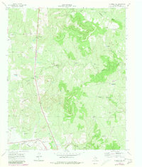
1967 Map of Fourmile Hill
USGS Topo · Published 1970About this map
The Middle Fork Wichita River and South Wichita River frame a rugged landscape of King County rangeland, centered on the high ground of Fourmile Hill. This 1967 survey reveals a remote ranching economy defined by its water infrastructure, with dozens of named landmarks such as Toles Mesa Windmill, Cowboy Pen Windmill, and Gibson Pen Windmill scattered across the drainages of Willow Creek.
Find a feature on this map
31 named features on this map. Tap any name to fly to it.
Don’t see what you’re looking for? This feature index may not catch every label — zoom into the map to look around manually.
Map Details
Editions of this 1967 Fourmile Hill Map
2 editions found
Other maps of this area

1954 · Lubbock
USGS Topo · 1:250,000

1966 · Chalk SW
USGS Topo · 1:24,000

1966 · J Y Ranch
USGS Topo · 1:24,000

1967 · Guthrie NW
USGS Topo · 1:24,000

1967 · Dark Canyon
USGS Topo · 1:24,000

1968 · Grow
USGS Topo · 1:24,000

1968 · Buffalo Creek
USGS Topo · 1:24,000

1968 · Guthrie
USGS Topo · 1:24,000

1968 · Pitchfork Flats
USGS Topo · 1:24,000

1985 · Dickens
USGS Topo · 1:100,000