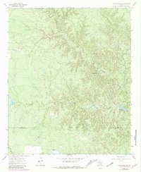
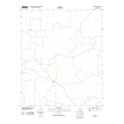
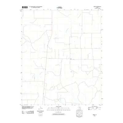
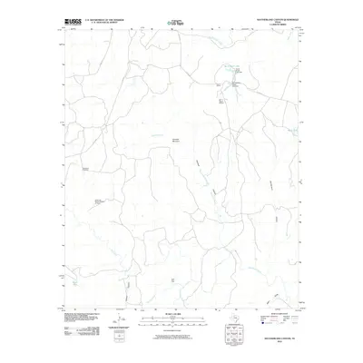
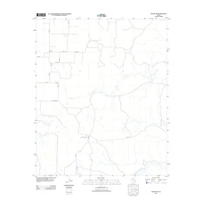
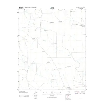
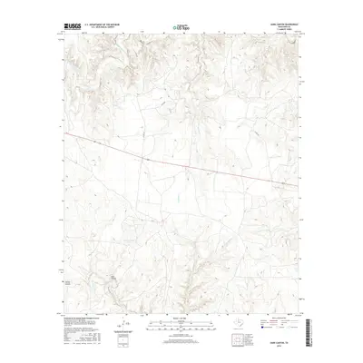
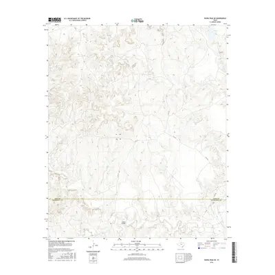
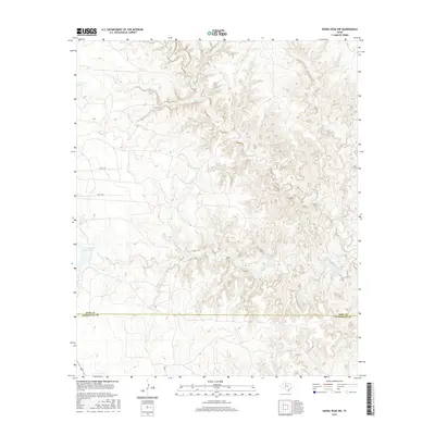
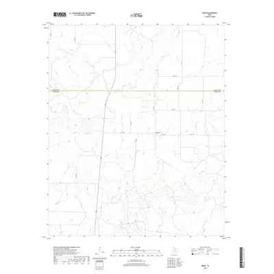
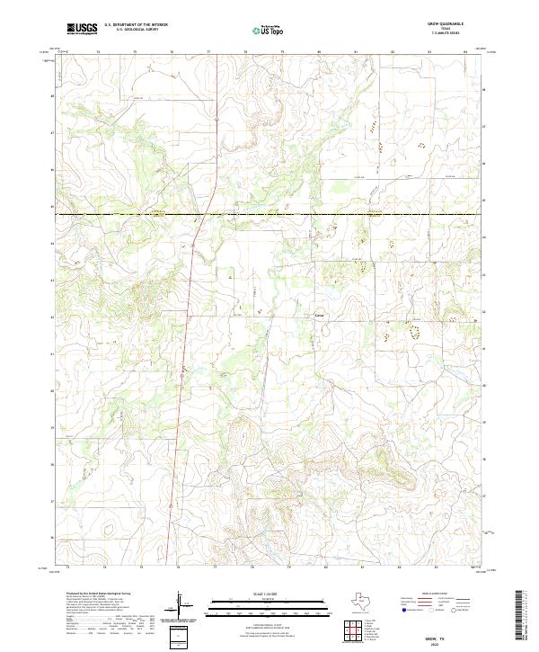
1968 Map of Grow
USGS Topo · Published 1970About this map
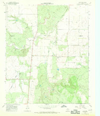
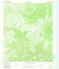
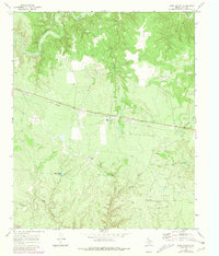
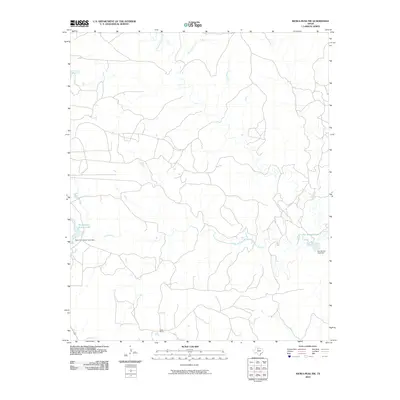
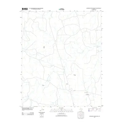
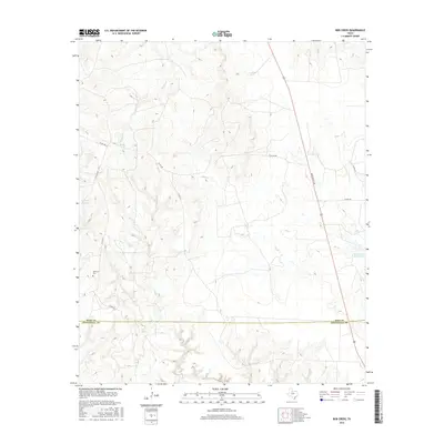
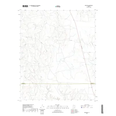
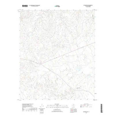
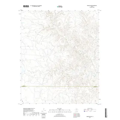
The North Wichita River and Mid Fk Wichita R carve through this section of the Rolling Plains during the late 1960s, defining a landscape of ranching and early infrastructure. The small settlement of Grow serves as a central point in this rural area, which is notably divided by the Cottle Co King Co line and an Indefinite Boundary to the north. This survey illustrates a quiet era of mid-century development, evidenced by the Finney Community Center and a Radio Facility located near the southern reaches of Buford Branch. Land use is further characterized by scattered resources like the Gravel Pit near Richards and numerous wells dotting the drainages of Farrer Creek. The map also captures specific local landmarks such as the Substa electrical component, providing a granular look at the utility and community network in King County before later modernization.
Find a feature on this map
13 named features on this map. Tap any name to fly to it.
Don’t see what you’re looking for? This feature index may not catch every label — zoom into the map to look around manually.
Map Details
Editions of this 1968 Grow Map
This is the sole edition of this map. No revisions or reprints were ever made.
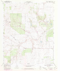
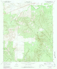
Historical Maps of Grow Through Time
90 maps found
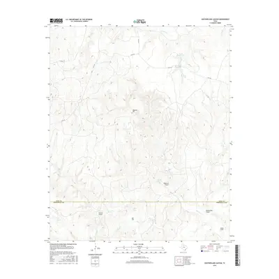
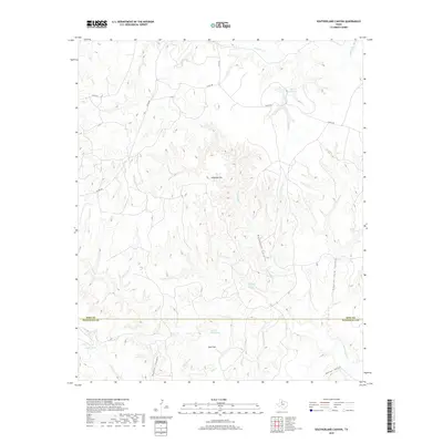
1958 Southerland Canyon
King County, TX
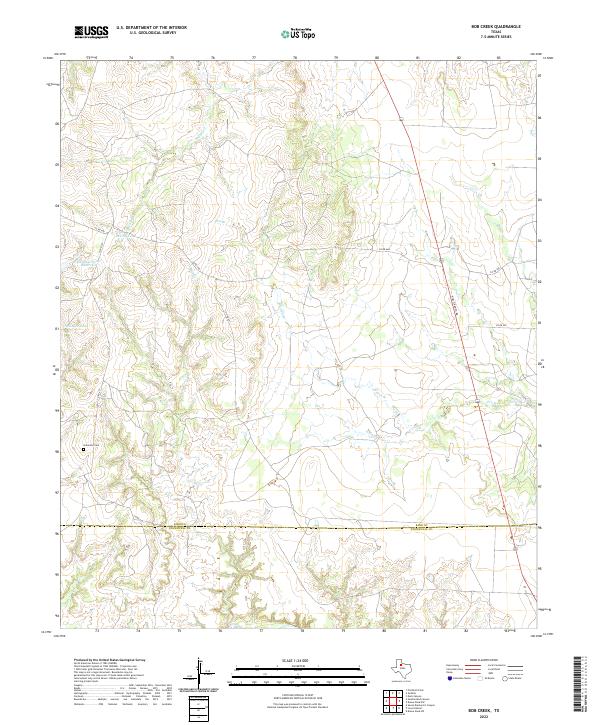
1959 Bob Creek
King County, TX
1966 Chalk SW
King County, TX
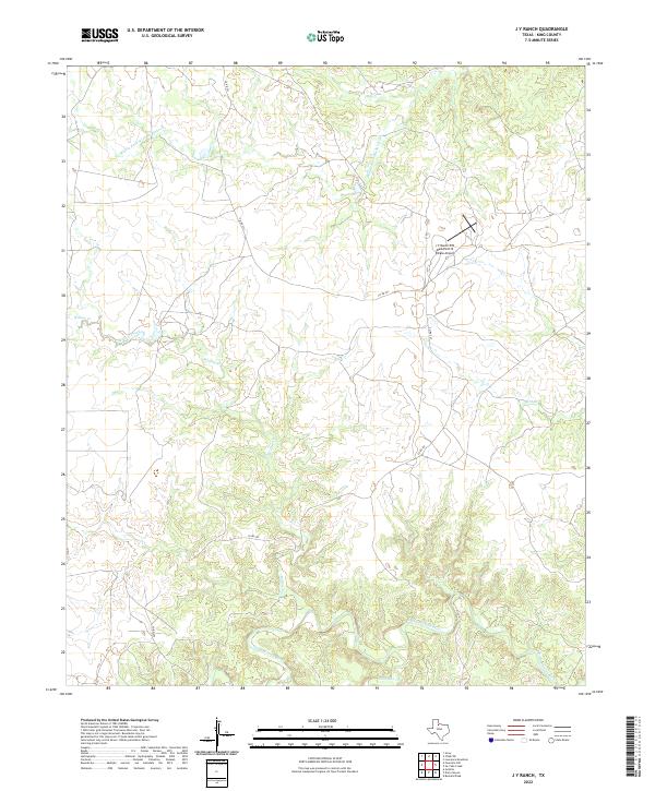
1966 J Y Ranch
King County, TX
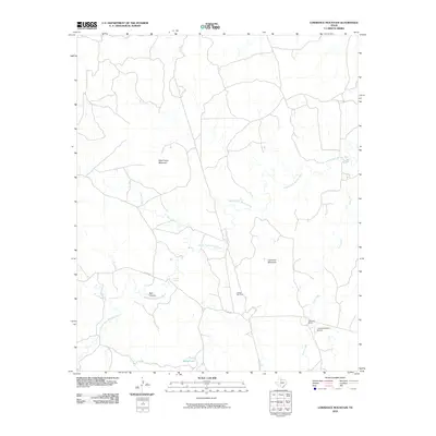
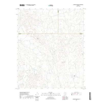
1966 Lowrance Mountain
King County, TX
1966 Ox Yoke Creek
King County, TX
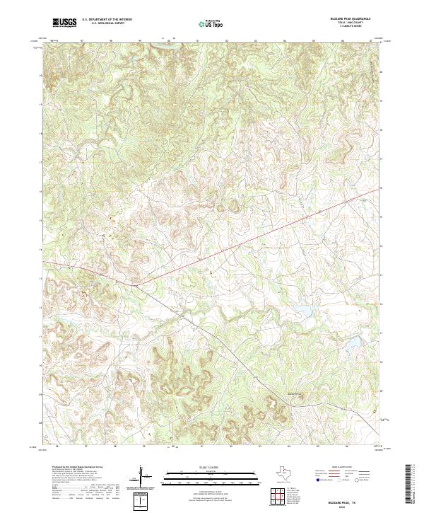
1967 Buzzard Peak
King County, TX
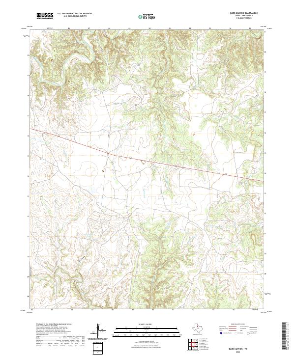
1967 Dark Canyon
King County, TX
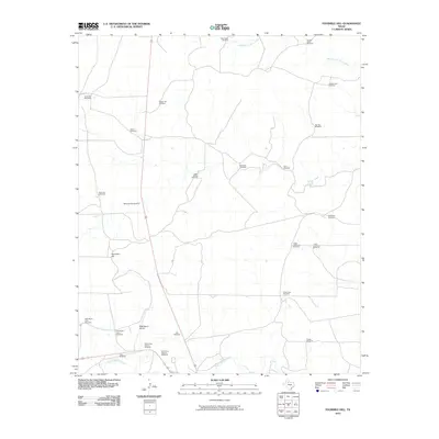
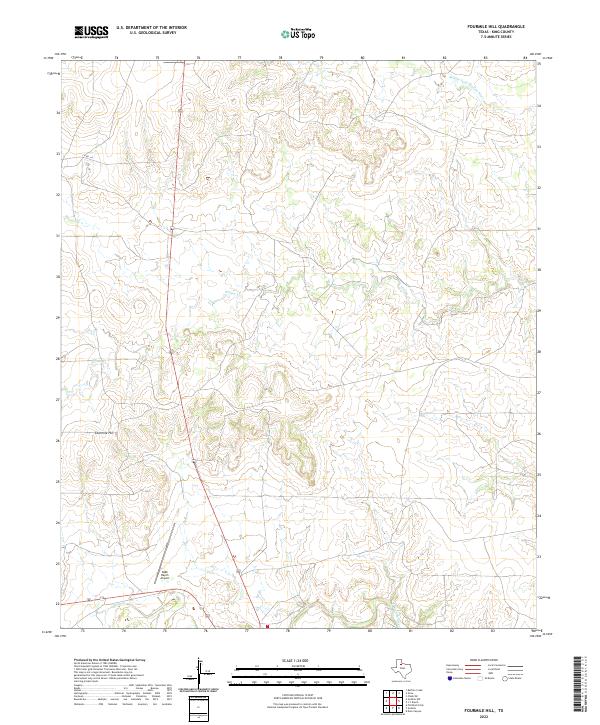
1967 Fourmile Hill
King County, TX
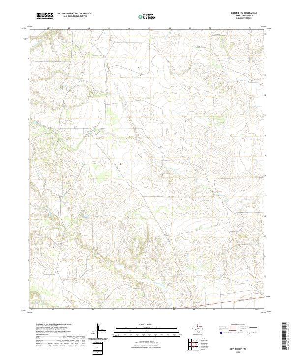
1967 Guthrie NW
King County, TX
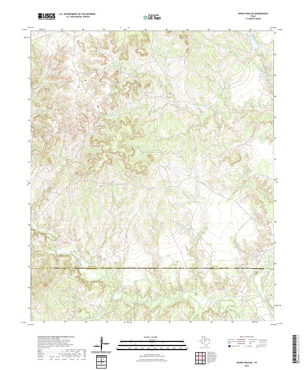
1967 Kiowa Peak NE
King County, TX
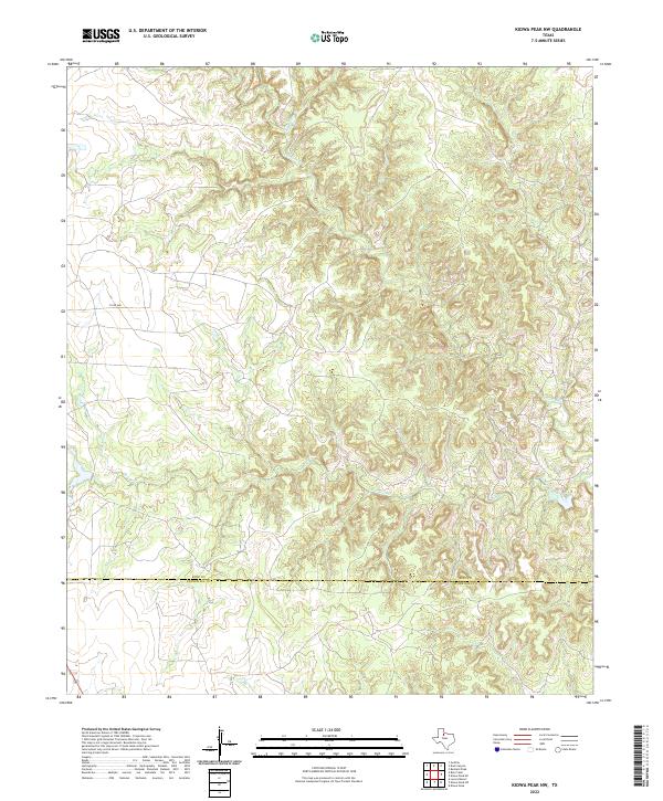
1967 Kiowa Peak NW
King County, TX
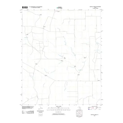
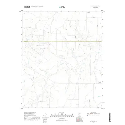
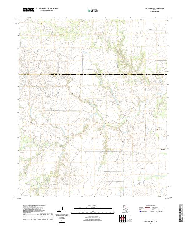
1968 Buffalo Creek
King County, TX
1968 Grow
King County, TX
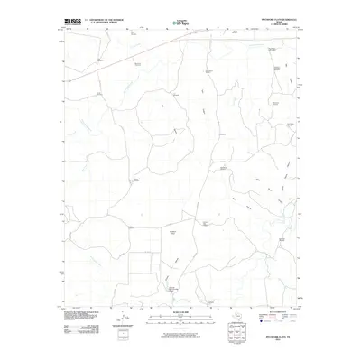
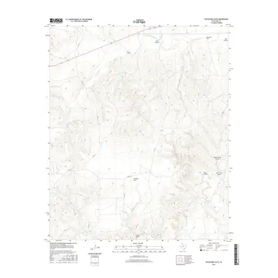
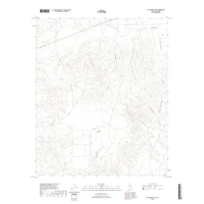
1968 Pitchfork Flats
King County, TX
2010 Bob Creek
King County, TX
2010 Buffalo Creek
King County, TX

2010 Buzzard Peak
King County, TX
2010 Chalk SW
King County, TX
2010 Dark Canyon
King County, TX
2010 Fourmile Hill
King County, TX
2010 Grow
King County, TX
2010 Guthrie NW
King County, TX
2010 J Y Ranch
King County, TX
2010 Kiowa Peak NE
King County, TX
2010 Kiowa Peak NW
King County, TX
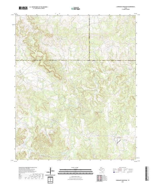
2010 Lowrance Mountain
King County, TX
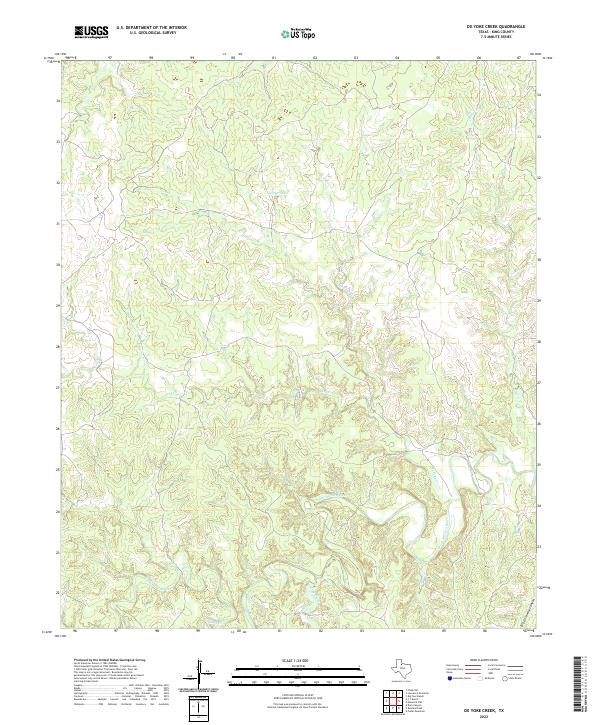
2010 Ox Yoke Creek
King County, TX
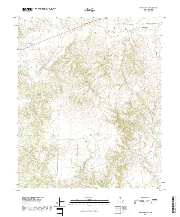
2010 Pitchfork Flats
King County, TX
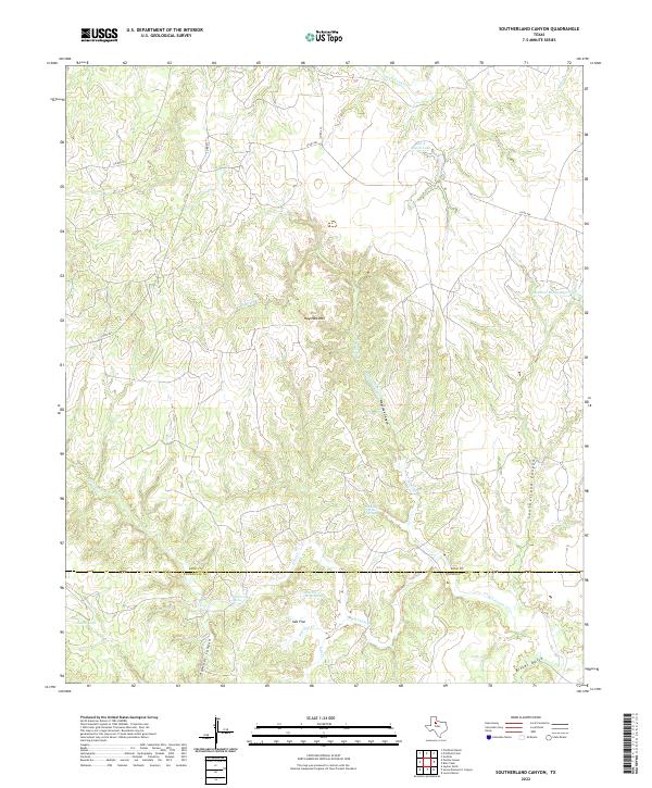
2010 Southerland Canyon
King County, TX
2012 Bob Creek
King County, TX
2012 Buffalo Creek
King County, TX
2012 Buzzard Peak
King County, TX
2012 Chalk SW
King County, TX
2012 Dark Canyon
King County, TX
2012 Fourmile Hill
King County, TX
2012 Grow
King County, TX
2012 Guthrie NW
King County, TX
2012 J Y Ranch
King County, TX
2012 Kiowa Peak NE
King County, TX
2012 Kiowa Peak NW
King County, TX
2012 Lowrance Mountain
King County, TX
2012 Ox Yoke Creek
King County, TX
2012 Pitchfork Flats
King County, TX
2012 Southerland Canyon
King County, TX
2016 Bob Creek
King County, TX
2016 Buffalo Creek
King County, TX
2016 Buzzard Peak
King County, TX
2016 Chalk SW
King County, TX
2016 Dark Canyon
King County, TX
2016 Fourmile Hill
King County, TX

2016 Grow
King County, TX
2016 Guthrie NW
King County, TX
2016 J Y Ranch
King County, TX
2016 Kiowa Peak NE
King County, TX
2016 Kiowa Peak NW
King County, TX
2016 Lowrance Mountain
King County, TX
2016 Ox Yoke Creek
King County, TX
2016 Pitchfork Flats
King County, TX
2016 Southerland Canyon
King County, TX
2019 Bob Creek
King County, TX
2019 Buffalo Creek
King County, TX
2019 Buzzard Peak
King County, TX
2019 Chalk SW
King County, TX
2019 Dark Canyon
King County, TX
2019 Fourmile Hill
King County, TX
2019 Grow
King County, TX
2019 Guthrie NW
King County, TX
2019 J Y Ranch
King County, TX
2019 Kiowa Peak NE
King County, TX
2019 Kiowa Peak NW
King County, TX
2019 Lowrance Mountain
King County, TX
2019 Ox Yoke Creek
King County, TX
2019 Pitchfork Flats
King County, TX
2019 Southerland Canyon
King County, TX
2022 Bob Creek
King County, TX
2022 Buffalo Creek
King County, TX
2022 Buzzard Peak
King County, TX
2022 Chalk SW
King County, TX
2022 Dark Canyon
King County, TX
2022 Fourmile Hill
King County, TX
2022 Grow
King County, TX
2022 Guthrie NW
King County, TX
2022 J Y Ranch
King County, TX
2022 Kiowa Peak NE
King County, TX
2022 Kiowa Peak NW
King County, TX
2022 Lowrance Mountain
King County, TX
2022 Ox Yoke Creek
King County, TX
2022 Pitchfork Flats
King County, TX
2022 Southerland Canyon
King County, TX