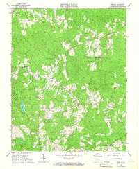
1964 Map of Darvills
USGS Topo · Published 1967About this map
Darvills and the surrounding Dinwiddie County landscape are captured here in the mid-1960s, defined by a series of rural creek basins and scattered religious centers. Small communities and landmarks like the Darvills Community Center and Era are situated along a winding road network, while the western portion of the map is dominated by the Camp Pickett Military Reservation. This federal presence significantly shapes the local geography, incorporating Tommeheton Lake and an Observation Tower within its boundaries.
Find a feature on this map
24 named features on this map. Tap any name to fly to it.
Don’t see what you’re looking for? This feature index may not catch every label — zoom into the map to look around manually.
Map Details
Editions of this 1964 Darvills Map
3 editions found
Other maps of this area

1897 · Amelia
USGS Topo · 1:125,000

1918 · Lawrenceville
USGS Topo · 1:62,500

1919 · Mc Kenney
USGS Topo · 1:48,000

1920 · Lawrenceville
USGS Topo · 1:48,000

1921 · Mc Kenney
USGS Topo · 1:62,500

1921 · Lawrenceville
USGS Topo · 1:62,500

1942 · Lawrenceville
USGS Topo · 1:62,500

1943 · Mc Kenney
USGS Topo · 1:62,500

1943 · De Witt
USGS Topo · 1:24,000

1943 · Church Road
USGS Topo · 1:24,000