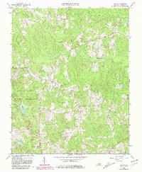
1964 Map of Darvills
USGS Topo · Published 1981About this map
Fort Pickett Military Reservation occupies a substantial portion of the western landscape in this topographic study, where military boundaries meet the rural crossroads of Dinwiddie County. The area is characterized by a network of small creeks including Butterwood Creek and Turkey Egg Creek, which shaped the early settlement patterns of hamlets like Darvills and Era. Local life is anchored by numerous country churches, such as Hawkins Memorial Ch, Sharon Ch, and Shiloh Ch, many of which are accompanied by small family or church cemeteries that provide a valuable record for genealogical research.
Find a feature on this map
25 named features on this map. Tap any name to fly to it.
Don’t see what you’re looking for? This feature index may not catch every label — zoom into the map to look around manually.
Map Details
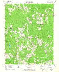
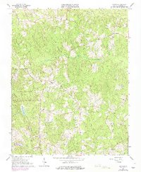
Editions of this 1964 Darvills Map
3 editions found
Other maps of this area

1897 · Amelia
USGS Topo · 1:125,000

1918 · Lawrenceville
USGS Topo · 1:62,500

1919 · Mc Kenney
USGS Topo · 1:48,000

1920 · Lawrenceville
USGS Topo · 1:48,000

1921 · Mc Kenney
USGS Topo · 1:62,500

1921 · Lawrenceville
USGS Topo · 1:62,500

1942 · Lawrenceville
USGS Topo · 1:62,500

1943 · Mc Kenney
USGS Topo · 1:62,500

1943 · De Witt
USGS Topo · 1:24,000

1943 · Church Road
USGS Topo · 1:24,000