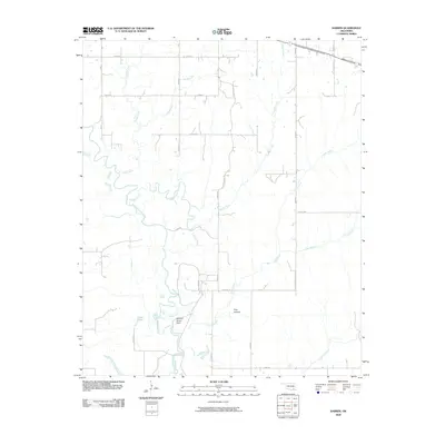
2009 Map of Darwin
USGS Topo · Published 2009About this map
Muddy Boggy Creek defines the low-lying hydrology of this Atoka County landscape, winding south alongside the McLeod Honor Farm. The complex drainage patterns of the region are evident in the winding courses of Potubbi Creek and Caney Creek, which feed into the primary waterway. The map documents a predominantly rural infrastructure characterized by a grid of local roads like S Centerpoint Rd and N4050 Rd, which provide access to scattered homesteads and the various sloughs and branches that mark the terrain.
Find a feature on this map
31 named features on this map. Tap any name to fly to it.
Don’t see what you’re looking for? This feature index may not catch every label — zoom into the map to look around manually.
Map Details
Editions of this 2009 Darwin Map
This is the sole edition of this map. No revisions or reprints were ever made.
Other maps of this area

1901 · Antlers
USGS Topo · 1:125,000

1912 · Antlers
USGS Topo · 1:125,000

1925 · Antlers
USGS Topo · 1:125,000

1950 · Mcalester
USGS Topo · 1:250,000

1957 · Farris
USGS Topo · 1:24,000

1957 · Moyers
USGS Topo · 1:24,000

1957 · Lane
USGS Topo · 1:24,000
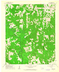
1961 · Darwin
USGS Topo · 1:24,000

1961 · Antlers West
USGS Topo · 1:24,000

1962 · McAlester
USGS Topo · 1:250,000