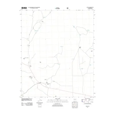
2011 Map of Datil
USGS Topo · Published 2011About this map
The high-desert settlement of Datil serves as the focal point of this southwestern landscape, situated at the junction of critical regional transit routes. This area is defined by its ranching history and sparse water management, evidenced by the numerous earthen catchments such as Norman Tank and Nicol Tank. The terrain rises sharply from the drainage of Main Canyon toward prominent elevations like Indian Peak and the flat-topped Dead Horse Mesa. Evidence of early and continued land use is found in the Homestead Windmill and the Datil Well Campground, while local family names are preserved at the Drag A Ranch and Jeffers Place. South of the community, the Datil Cemetery and Datil Post Office anchor the civic history of this Catron County locale, while the geological formation known as Church Rocks stands out to the east.
Find a feature on this map
34 named features on this map. Tap any name to fly to it.
Don’t see what you’re looking for? This feature index may not catch every label — zoom into the map to look around manually.
Map Details
Editions of this 2011 Datil Map
This is the sole edition of this map. No revisions or reprints were ever made.
Other maps of this area
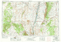
1954 · Socorro
USGS Topo · 1:250,000
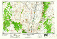
1958 · Socorro
USGS Topo · 1:250,000
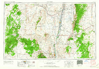
1962 · Socorro
USGS Topo · 1:250,000
1963 · Cal Ship Mesa
USGS Topo · 1:24,000
1963 · Anderson Peak
USGS Topo · 1:24,000
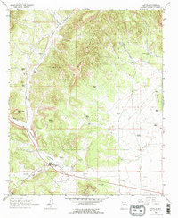
1963 · Datil
USGS Topo · 1:24,000
1964 · Dog Springs
USGS Topo · 1:24,000
1964 · Madre Mountain
USGS Topo · 1:24,000
1964 · Crosby Springs
USGS Topo · 1:24,000
1965 · Sugarloaf Mountain
USGS Topo · 1:24,000