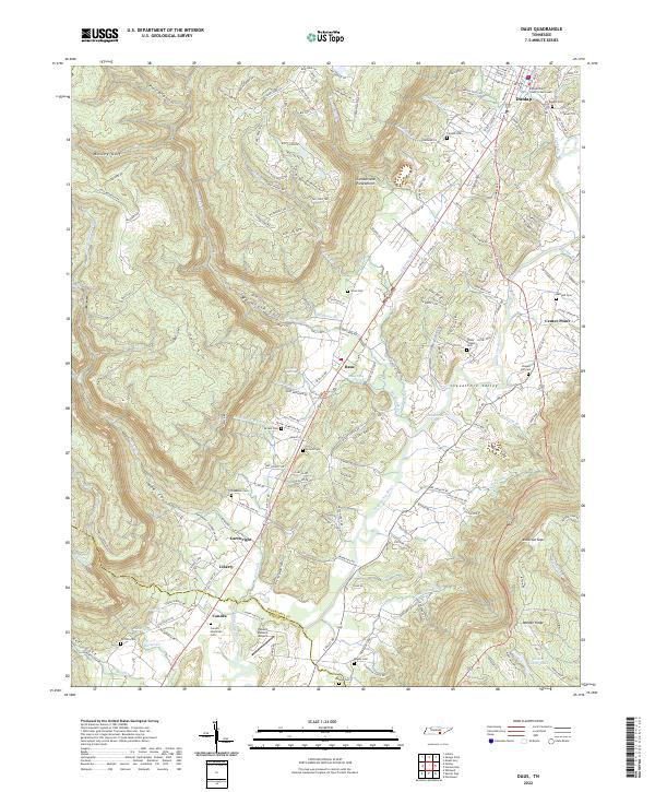
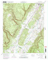
2022 Map of Daus
USGS Topo · Published 2022About this map
The Sequatchie River carves a narrow, dramatic path through the Sequatchie Valley, bounded by the massive wall of the Cumberland Escarpment to the west and Walden Ridge to the east. This landscape is defined by its deep hollows and gulfs, such as Woodcock Gulf and Mosley Gulf, which dictate the rural settlement patterns along the valley floor. Small communities like Daus, Cartwright, and Condra are linked by W Valley Rd and E Valley Rd, following the natural corridor created by the river.
Find a feature on this map
176 named features on this map. Tap any name to fly to it.
Don’t see what you’re looking for? This feature index may not catch every label — zoom into the map to look around manually.
Map Details
Editions of this 2022 Daus Map
This is the sole edition of this map. No revisions or reprints were ever made.
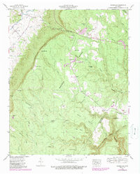
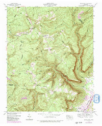
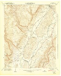
Historical Maps of Daus Through Time
12 maps found
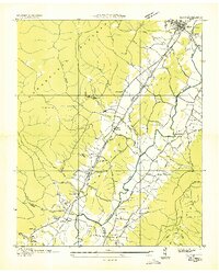
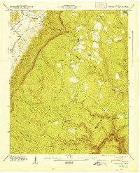
1936 Daus
Sequatchie County, TN
1936 Henson Gap
Sequatchie County, TN
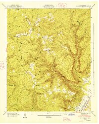
1936 Savage Point
Sequatchie County, TN
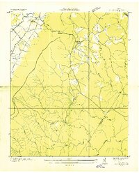
1946 Daus
Sequatchie County, TN
1946 Henson Gap
Sequatchie County, TN
1946 Savage Point
Sequatchie County, TN
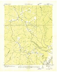
1947 Daus
Sequatchie County, TN
1947 Henson Gap
Sequatchie County, TN
1947 Savage Point
Sequatchie County, TN
2022 Daus
Sequatchie County, TN
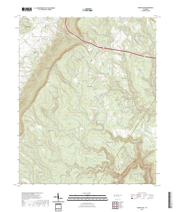
2022 Henson Gap
Sequatchie County, TN
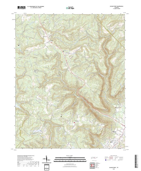
2022 Savage Point
Sequatchie County, TN