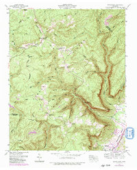
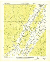
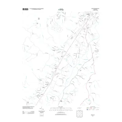
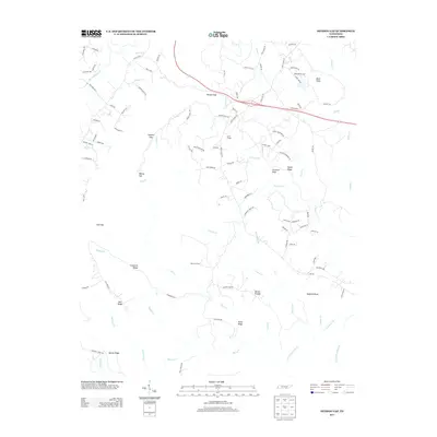
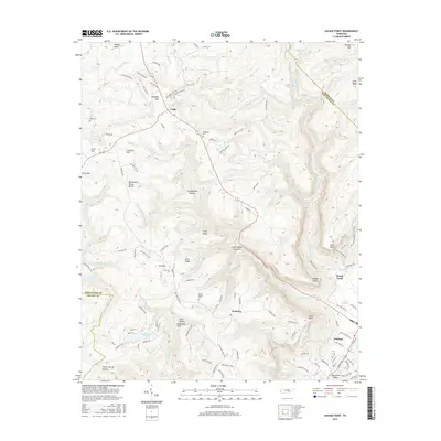
1946 Map of Savage Point
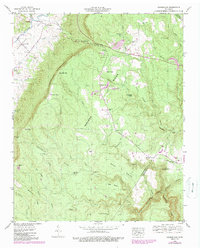
USGS Topo · Published 1991About this map
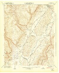
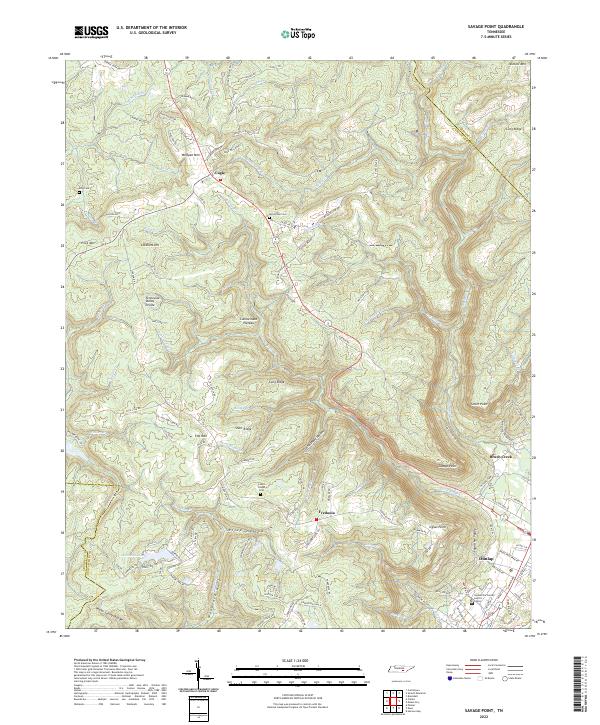
Cumberland Plateau terrain dominates this 1946 survey, where the dramatic elevation drop into the Sequatchie Valley defines the landscape. The town of Dunlap sits at the base of this escarpment, serving as a focal point for the region’s valley-floor activity. On the higher elevations, small rural communities and family landmarks such as Cagle and Fredonia are connected by a network of winding mountain roads. Genealogists and local researchers will find significant markers of the era’s rural life, including King Cem, Mt Pleasant Ch, and Lands Chapel Cem.
Find a feature on this map
76 named features on this map. Tap any name to fly to it.
Don’t see what you’re looking for? This feature index may not catch every label — zoom into the map to look around manually.
Map Details
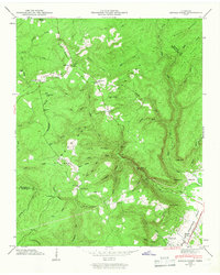
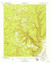
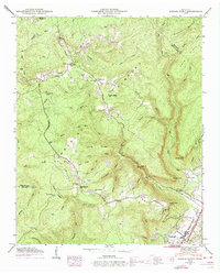
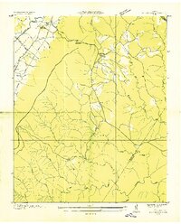
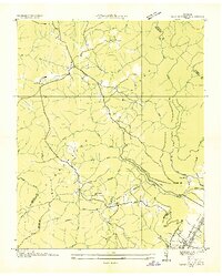
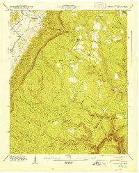
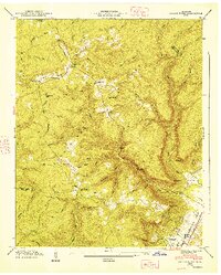
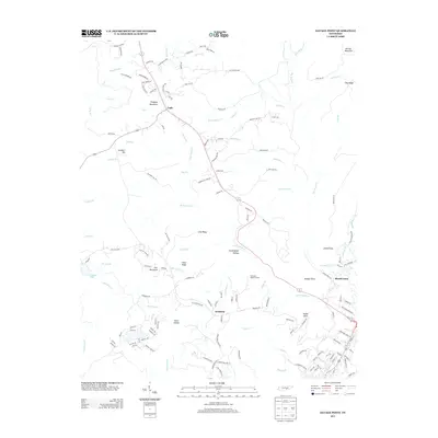
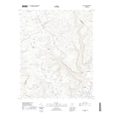
Editions of this 1946 Savage Point Map
4 editions found
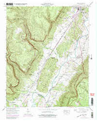
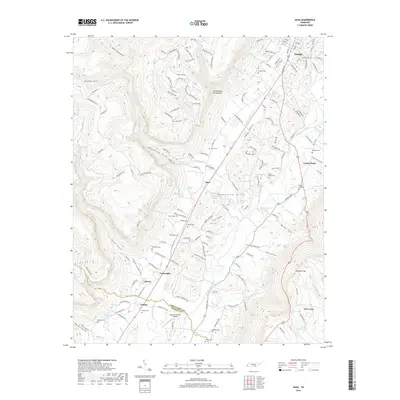
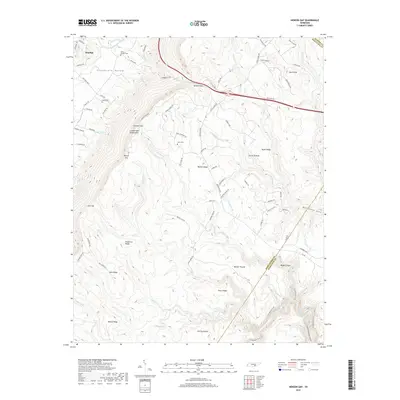
Historical Maps of Dunlap Through Time
24 maps found
1936 Daus
Sequatchie County, TN
1936 Henson Gap
Sequatchie County, TN
1936 Savage Point
Sequatchie County, TN
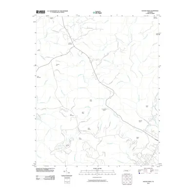
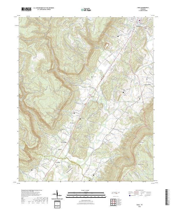
1946 Daus
Sequatchie County, TN
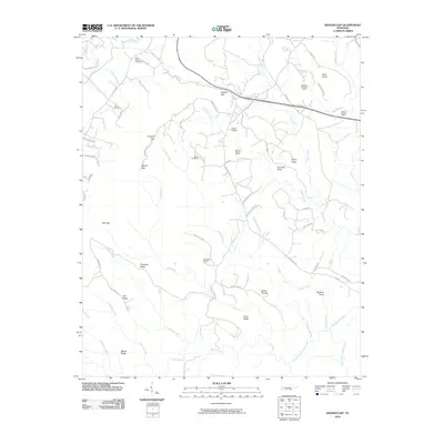
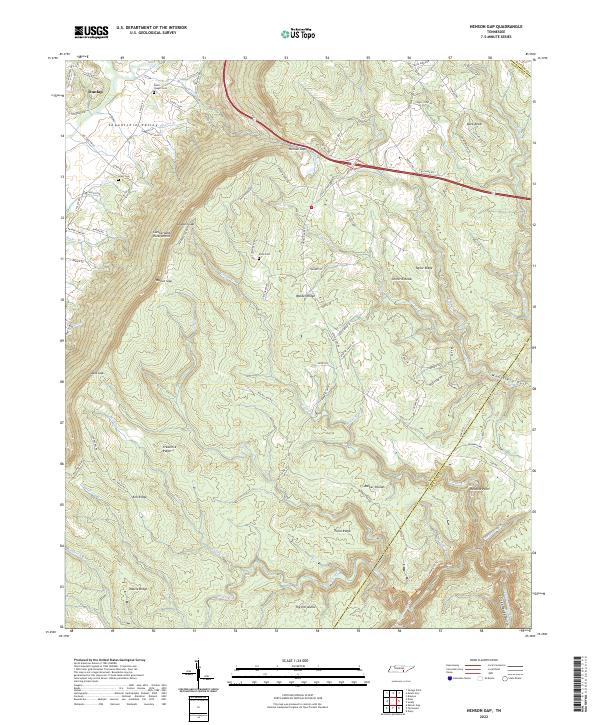
1946 Henson Gap
Sequatchie County, TN
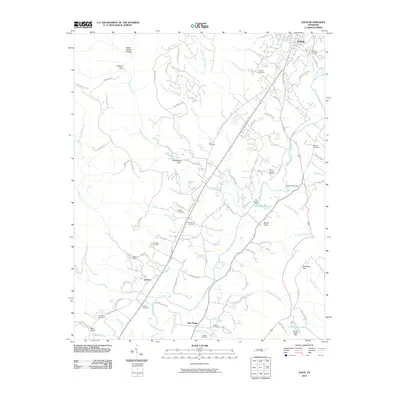
1946 Savage Point
Sequatchie County, TN
1947 Daus
Sequatchie County, TN
1947 Henson Gap
Sequatchie County, TN
1947 Savage Point
Sequatchie County, TN
2010 Daus
Sequatchie County, TN
2010 Henson Gap
Sequatchie County, TN
2010 Savage Point
Sequatchie County, TN
2013 Daus
Sequatchie County, TN
2013 Henson Gap
Sequatchie County, TN
2013 Savage Point
Sequatchie County, TN
2016 Daus
Sequatchie County, TN
2016 Henson Gap
Sequatchie County, TN
2016 Savage Point
Sequatchie County, TN
2019 Daus
Sequatchie County, TN
2019 Henson Gap
Sequatchie County, TN
2019 Savage Point
Sequatchie County, TN
2022 Daus
Sequatchie County, TN
2022 Henson Gap
Sequatchie County, TN
2022 Savage Point
Sequatchie County, TN