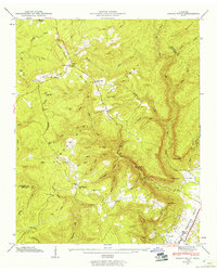
1946 Map of Savage Point
USGS Topo · Published 1960About this map
Cumberland Plateau terrain dominates this mid-century survey, where the dramatic escarpment drops into the Sequatchie Valley. The town of Dunlap sits at the base of this ridge, served by the N C & St L railroad and the Sequatchie County High Sch. The map records a landscape of high ridges and deep hollows, including Price Hollow and Cunningham Hollow, which dictated the settlement patterns of the era.
Find a feature on this map
54 named features on this map. Tap any name to fly to it.
Don’t see what you’re looking for? This feature index may not catch every label — zoom into the map to look around manually.
Map Details
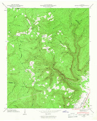
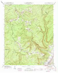
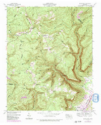
Editions of this 1946 Savage Point Map
4 editions found
Other maps of this area

1888 · Chattanooga
USGS Topo · 1:125,000

1892 · Pikeville
USGS Topo · 1:125,000

1893 · Mc Minnville
USGS Topo · 1:125,000

1893 · Chattanooga
USGS Topo · 1:125,000

1895 · Mc Minnville
USGS Topo · 1:125,000

1895 · Sewanee
USGS Topo · 1:125,000

1895 · Pikeville
USGS Topo · 1:125,000

1935 · Brockdell
USGS Topo · 1:24,000

1935 · Mount Airy
USGS Topo · 1:24,000

1935 · Smart Mountain
USGS Topo · 1:24,000