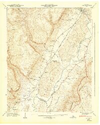
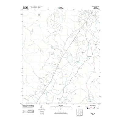
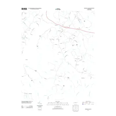
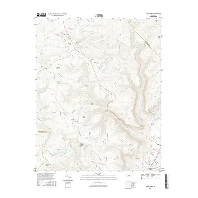
1946 Map of Savage Point
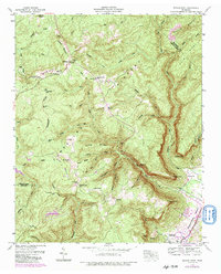
USGS Topo · Published 1974About this map
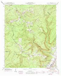
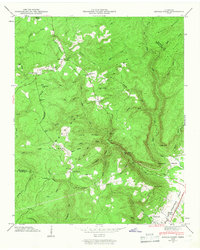
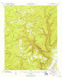
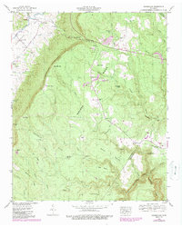
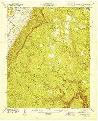
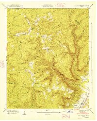
Dunlap sits at the edge of the Sequatchie Valley, serving as a gateway between the valley floor and the high Cumberland Plateau. This 1946 field examination, revised in the 1960s, documents the rural infrastructure of the region, where the William Howard Taft Highway parallels the valley walls. The upland landscape is defined by family-named landmarks and essential community institutions, including Mt Pleasant Ch, Yellow Springs Ch, and the Lands Chapel Cem. Remote outposts like the Lookout Tower on Price Mountain oversee a terrain deeply incised by drainages such as Big Brush Creek and Savage Creek. In the plateau's interior, small settlements like Cagle and scattered school sites like Sequatchie County High Sch highlight the dispersed nature of mid-century life in this part of Tennessee.
Find a feature on this map
62 named features on this map. Tap any name to fly to it.
Don’t see what you’re looking for? This feature index may not catch every label — zoom into the map to look around manually.
Map Details
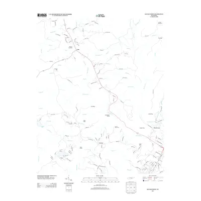
Editions of this 1946 Savage Point Map
4 editions found
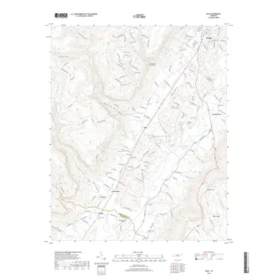
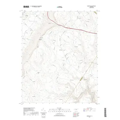
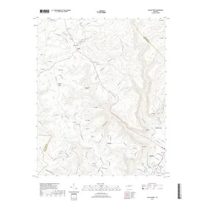
Historical Maps of Dunlap Through Time
24 maps found
1936 Daus
Sequatchie County, TN
1936 Henson Gap
Sequatchie County, TN
1936 Savage Point
Sequatchie County, TN
1946 Daus
Sequatchie County, TN
1946 Henson Gap
Sequatchie County, TN
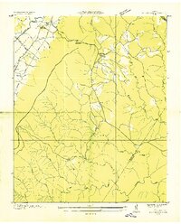
1946 Savage Point
Sequatchie County, TN
1947 Daus
Sequatchie County, TN
1947 Henson Gap
Sequatchie County, TN
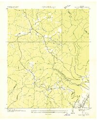
1947 Savage Point
Sequatchie County, TN
2010 Daus
Sequatchie County, TN
2010 Henson Gap
Sequatchie County, TN
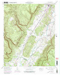
2010 Savage Point
Sequatchie County, TN
2013 Daus
Sequatchie County, TN
2013 Henson Gap
Sequatchie County, TN
2013 Savage Point
Sequatchie County, TN
2016 Daus
Sequatchie County, TN
2016 Henson Gap
Sequatchie County, TN
2016 Savage Point
Sequatchie County, TN
2019 Daus
Sequatchie County, TN
2019 Henson Gap
Sequatchie County, TN
2019 Savage Point
Sequatchie County, TN
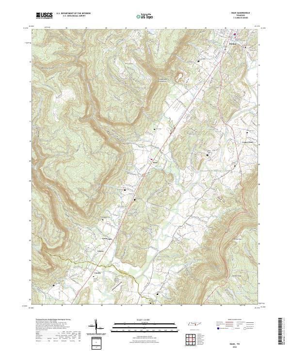
2022 Daus
Sequatchie County, TN
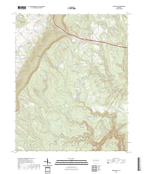
2022 Henson Gap
Sequatchie County, TN
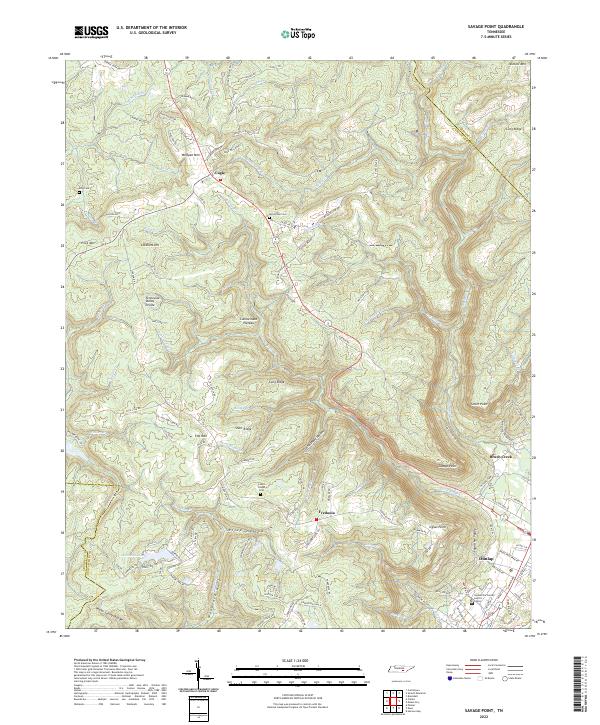
2022 Savage Point
Sequatchie County, TN