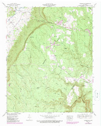
1946 Map of Henson Gap
USGS Topo · Published 1989About this map
The Cumberland Escarpment defines the dramatic landscape of this 1946 survey, separating the agricultural floor of the Sequatchie Valley from the high, wooded plateau of Walden Ridge. Along the valley floor, the city of Dunlap serves as a hub of activity near the Sequatchie River, while the heights are defined by a network of ridges like Frederick Ridge and Pounds Point Ridge. This era shows a transition in land use; while small family sites like Lewis Cem and Davis Cem remain, the plateau is increasingly marked by industrial activity, including several Strip Mines and a Quarry near Lewis Chapel. Local transport is anchored by the Henson Gap Road, which climbs through Henson Gap to connect the valley settlements to the upland communities. The map also records the hydrological divide where waters flow into Cain Creek or drop into the Mansfield Gulf toward the Chickamauga Gulch.
Find a feature on this map
53 named features on this map. Tap any name to fly to it.
Don’t see what you’re looking for? This feature index may not catch every label — zoom into the map to look around manually.
Map Details
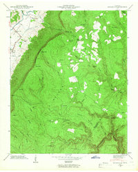
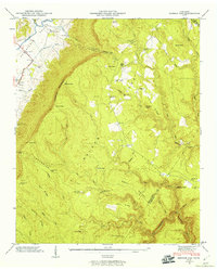
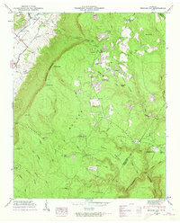
Editions of this 1946 Henson Gap Map
4 editions found
Other maps of this area

1888 · Chattanooga
USGS Topo · 1:125,000

1893 · Chattanooga
USGS Topo · 1:125,000

1935 · Daisy
USGS Topo · 1:24,000

1935 · Soddy
USGS Topo · 1:24,000

1935 · Brayton
USGS Topo · 1:24,000

1935 · Mount Airy
USGS Topo · 1:24,000

1936 · Daus
USGS Topo · 1:24,000

1936 · Henson Gap
USGS Topo · 1:24,000

1936 · Ketner Gap
USGS Topo · 1:24,000

1936 · Fairmount
USGS Topo · 1:24,000