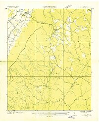
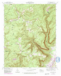
1946 Map of Henson Gap
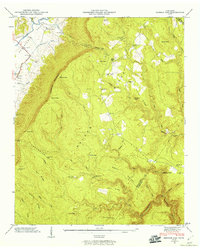
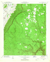
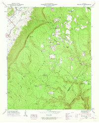
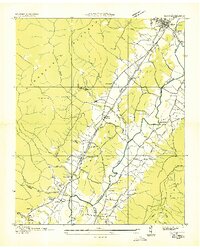
USGS Topo · Published 1960This historical map portrays the area of Henson Gap in 1946, primarily covering Sequatchie County as well as portions of Bledsoe County and Hamilton County. Featuring a scale of 1:24000, this map provides a highly detailed snapshot of the terrain, roads, buildings, counties, and historical landmarks in the Henson Gap region at the time. Published in 1960, it is one of 4 known editions of this map due to revisions or reprints.
Find a feature on this map
51 named features on this map. Tap any name to fly to it.
Don’t see what you’re looking for? This feature index may not catch every label — zoom into the map to look around manually.
Map Details
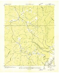
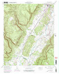
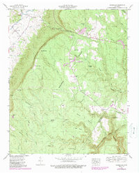
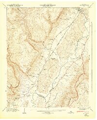
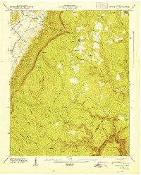
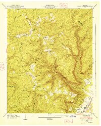
Editions of this 1946 Henson Gap Map
4 editions found
Historical Maps of Dunlap Through Time
12 maps found
1936 Daus
Sequatchie County, TN
1936 Henson Gap
Sequatchie County, TN
1936 Savage Point
Sequatchie County, TN
1946 Daus
Sequatchie County, TN
1946 Henson Gap
Sequatchie County, TN
1946 Savage Point
Sequatchie County, TN
1947 Daus
Sequatchie County, TN
1947 Henson Gap
Sequatchie County, TN
1947 Savage Point
Sequatchie County, TN
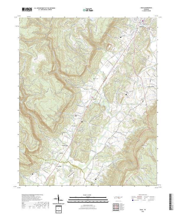
2022 Daus
Sequatchie County, TN
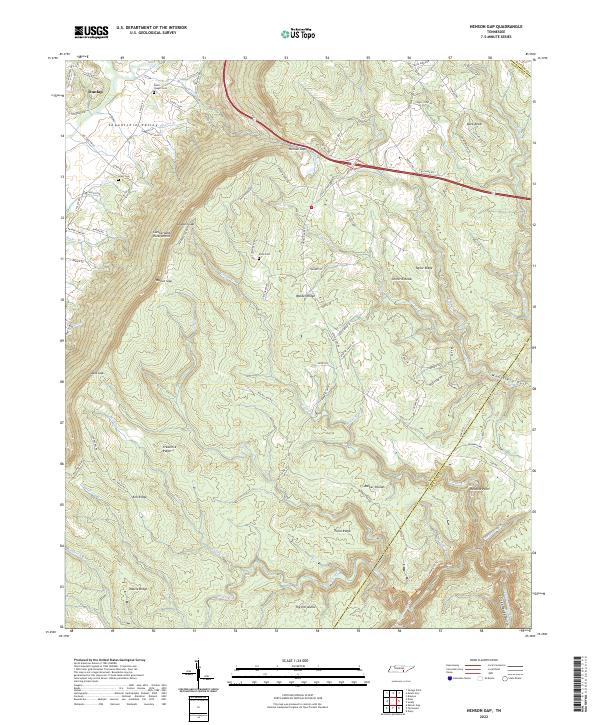
2022 Henson Gap
Sequatchie County, TN
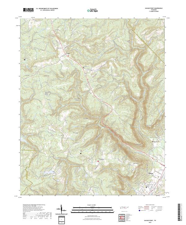
2022 Savage Point
Sequatchie County, TN