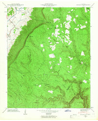
1946 Map of Henson Gap
USGS Topo · Published 1946About this map
The Cumberland Escarpment defines the transition from the Sequatchie River valley floor up to the high plateau of Walden Ridge. This mid-century survey captures a landscape structured by the steep ascent, where the Alvin C. York Highway winds through the valley while small upland communities like Lewis Chapel and Davis Chapel maintain their own schools and churches on the ridge. The geography is punctuated by deep gaps such as Henson Gap and Cowpen Gap, which served as vital passage points between the valley and the high country.
Find a feature on this map
73 named features on this map. Tap any name to fly to it.
Don’t see what you’re looking for? This feature index may not catch every label — zoom into the map to look around manually.
Map Details
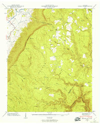
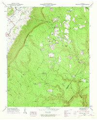
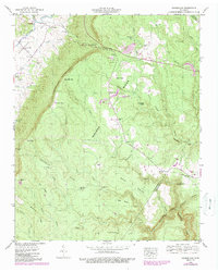
Editions of this 1946 Henson Gap Map
4 editions found
Other maps of this area

1888 · Chattanooga
USGS Topo · 1:125,000

1893 · Chattanooga
USGS Topo · 1:125,000

1935 · Daisy
USGS Topo · 1:24,000

1935 · Soddy
USGS Topo · 1:24,000

1935 · Brayton
USGS Topo · 1:24,000

1935 · Mount Airy
USGS Topo · 1:24,000

1936 · Daus
USGS Topo · 1:24,000

1936 · Henson Gap
USGS Topo · 1:24,000

1936 · Ketner Gap
USGS Topo · 1:24,000

1936 · Fairmount
USGS Topo · 1:24,000