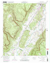
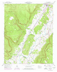
1946 Map of Daus
USGS Topo · Published 1988About this map
The Cumberland Escarpment dominates the topography of this Tennessee valley, where the Sequatchie River meanders south past the rail-fed settlements of Dunlap, Daus, and Cartwright. This 1946 survey, later updated in 1974, captures a landscape defined by the Louisville and Nashville railroad line and a series of rural hamlets tucked between Cumberland Mountain and Walden Ridge. The valley floor is dotted with family-named landmarks and essential community institutions like Center Point Sch and Trans Chapel.
Find a feature on this map
57 named features on this map. Tap any name to fly to it.
Don’t see what you’re looking for? This feature index may not catch every label — zoom into the map to look around manually.
Map Details
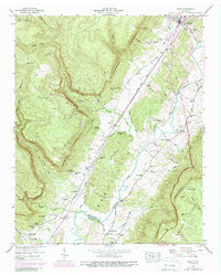
Editions of this 1946 Daus Map
6 editions found
Other maps of this area

1888 · Chattanooga
USGS Topo · 1:125,000

1893 · Chattanooga
USGS Topo · 1:125,000

1895 · Sewanee
USGS Topo · 1:125,000

1935 · Mount Airy
USGS Topo · 1:24,000

1936 · Palmer
USGS Topo · 1:24,000

1936 · Daus
USGS Topo · 1:24,000

1936 · Henson Gap
USGS Topo · 1:24,000

1936 · Whitwell
USGS Topo · 1:24,000

1936 · Ketner Gap
USGS Topo · 1:24,000

1936 · Fairmount
USGS Topo · 1:24,000