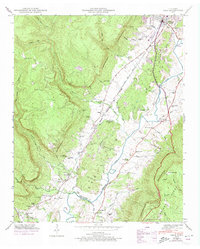
1946 Map of Daus
USGS Topo · Published 1974About this map
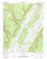
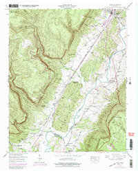
Dunlap and the Sequatchie River valley serve as the focal points of this mid-century survey, illustrating a landscape defined by the dramatic Cumberland Escarpment and the river’s winding course. The Nashville Chattanooga and St Louis RR parallels the river, anchoring small valley settlements like Daus, Bryant, and Cartwright. This period in Sequatchie County shows a rural community oriented toward the valley floor, where transportation routes like the William Howard Taft Highway follow the low ground between the steep ridges of Mosley Gulf and the Cumberland Wade Ridge.
Find a feature on this map
69 named features on this map. Tap any name to fly to it.
Don’t see what you’re looking for? This feature index may not catch every label — zoom into the map to look around manually.
Map Details
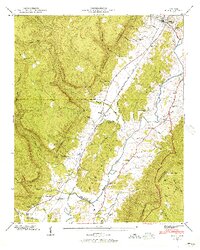
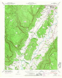
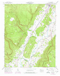
Editions of this 1946 Daus Map
6 editions found
Other maps of this area

1888 · Chattanooga
USGS Topo · 1:125,000

1893 · Chattanooga
USGS Topo · 1:125,000

1895 · Sewanee
USGS Topo · 1:125,000

1935 · Mount Airy
USGS Topo · 1:24,000

1936 · Palmer
USGS Topo · 1:24,000

1936 · Daus
USGS Topo · 1:24,000

1936 · Henson Gap
USGS Topo · 1:24,000

1936 · Whitwell
USGS Topo · 1:24,000

1936 · Ketner Gap
USGS Topo · 1:24,000

1936 · Fairmount
USGS Topo · 1:24,000