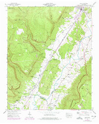
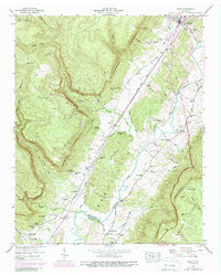
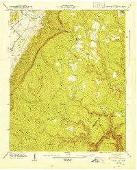
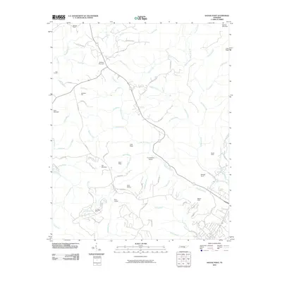
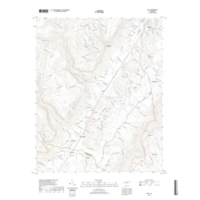
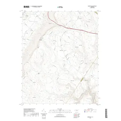
1946 Map of Daus
USGS Topo · Published 1977About this map
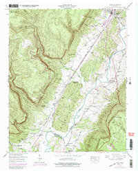
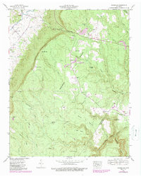
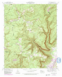
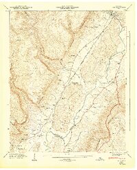
The Cumberland Escarpment dominates this 1946 survey, defining a sharp geological divide between the high plateau and the valley floor where the Sequatchie River meanders south. This corridor is a landscape of established coal mining and small rural settlements, marked by numerous Strip Mine operations and the industrial presence of an Incline near the escarpment edge. The transportation network is anchored by the Louisville and Nashville railroad and the Alvin York Highway, which connect the town of Dunlap to smaller communities like Daus, Bryant, and Cartwright. Local life is meticulously documented through family-named landmarks and civic centers, including Thans Chapel Cem, Stone Cem, and the Center Point Sch. The map also captures the transition of the mid-century landscape with the inclusion of a Drive-In Theater and Substation near the river, reflecting the region's modernization.
Find a feature on this map
63 named features on this map. Tap any name to fly to it.
Don’t see what you’re looking for? This feature index may not catch every label — zoom into the map to look around manually.
Map Details
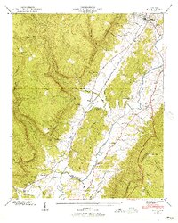
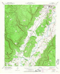
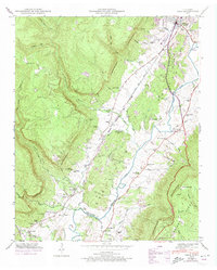
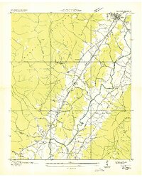
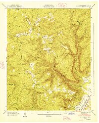
Editions of this 1946 Daus Map
6 editions found
Historical Maps of Dunlap Through Time
24 maps found
1936 Daus
Sequatchie County, TN
1936 Henson Gap
Sequatchie County, TN
1936 Savage Point
Sequatchie County, TN
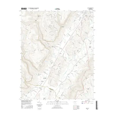
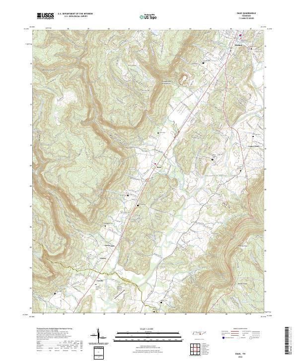
1946 Daus
Sequatchie County, TN
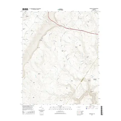
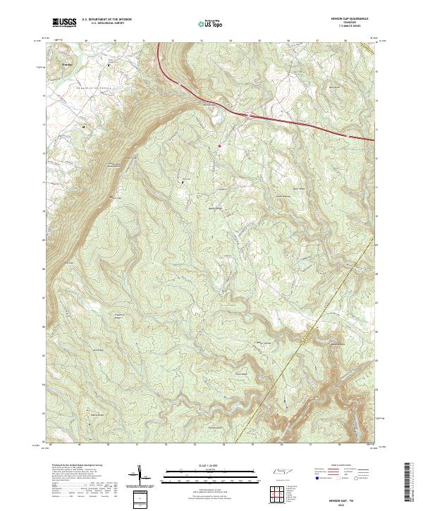
1946 Henson Gap
Sequatchie County, TN
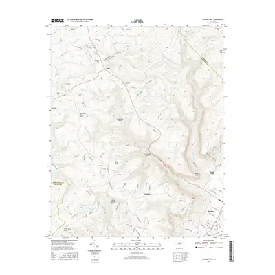
1946 Savage Point
Sequatchie County, TN
1947 Daus
Sequatchie County, TN
1947 Henson Gap
Sequatchie County, TN
1947 Savage Point
Sequatchie County, TN
2010 Daus
Sequatchie County, TN
2010 Henson Gap
Sequatchie County, TN
2010 Savage Point
Sequatchie County, TN
2013 Daus
Sequatchie County, TN
2013 Henson Gap
Sequatchie County, TN
2013 Savage Point
Sequatchie County, TN
2016 Daus
Sequatchie County, TN
2016 Henson Gap
Sequatchie County, TN
2016 Savage Point
Sequatchie County, TN
2019 Daus
Sequatchie County, TN
2019 Henson Gap
Sequatchie County, TN
2019 Savage Point
Sequatchie County, TN
2022 Daus
Sequatchie County, TN
2022 Henson Gap
Sequatchie County, TN
2022 Savage Point
Sequatchie County, TN