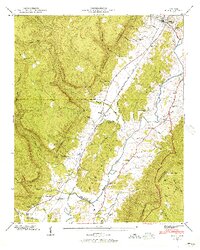
1946 Map of Daus
USGS Topo · Published 1956About this map
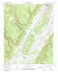
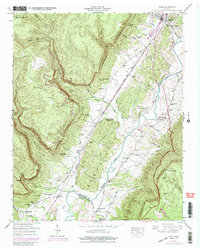
The Sequatchie River meanders through a valley floor constrained by the massive Cumberland Escarpment and Walden Ridge in this mid-century Tennessee Valley Authority study. The region's transport corridor is defined by the Nashville Chattanooga and St Louis Railway and the Alvin C York Highway, which connect the settlement at Dunlap to smaller hamlets like Daus and Cartwright. Local life is anchored by family-named landmarks and rural institutions, including the New Hope Ch and Center Point Sch. The geological character of the valley is evident in features such as Stone Cave and the deep incisions of Woodcock Gulf. This map captures a landscape where industry, geography, and genealogy intersect, noting numerous family burial grounds such as Hatfield Cem and Cookston Cem along the slopes and valley floor.
Find a feature on this map
84 named features on this map. Tap any name to fly to it.
Don’t see what you’re looking for? This feature index may not catch every label — zoom into the map to look around manually.
Map Details
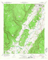
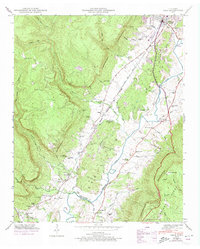
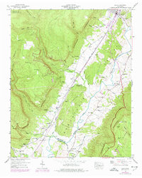
Editions of this 1946 Daus Map
6 editions found
Other maps of this area

1888 · Chattanooga
USGS Topo · 1:125,000

1893 · Chattanooga
USGS Topo · 1:125,000

1895 · Sewanee
USGS Topo · 1:125,000

1935 · Mount Airy
USGS Topo · 1:24,000

1936 · Palmer
USGS Topo · 1:24,000

1936 · Daus
USGS Topo · 1:24,000

1936 · Henson Gap
USGS Topo · 1:24,000

1936 · Whitwell
USGS Topo · 1:24,000

1936 · Ketner Gap
USGS Topo · 1:24,000

1936 · Fairmount
USGS Topo · 1:24,000