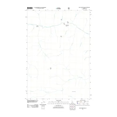
2011 Map of Dave Lewis Peak
USGS Topo · Published 2011About this map
Dave Lewis Peak serves as a central high point in this 2011 survey of the Idaho wilderness, where deep canyons and drainage networks define the landscape. The convergence of Big Creek and Rush Creek near the Taylor Ranch Landing Area illustrates the critical role of remote airstrips and ranches in accessing this interior terrain. Along the water, Big Creek Gorge and the Soldier Bar-US Forest Service Airport at Soldier Bar highlight the intersection of natural geography and essential backcountry infrastructure. The map records several high-elevation landmarks, including Eagan Point and the Short Creek Lookout, which provide vantage points over the complex drainages of Pioneer Creek and Soldier Creek. This area's geography is characterized by its steep gradients, from the Goat Basin down to the creek beds of Bernard Creek and Eagan Creek, reflecting the specialized land use required in such isolated mountain environments.
Find a feature on this map
23 named features on this map. Tap any name to fly to it.
Don’t see what you’re looking for? This feature index may not catch every label — zoom into the map to look around manually.
Map Details
Editions of this 2011 Dave Lewis Peak Map
This is the sole edition of this map. No revisions or reprints were ever made.
Other maps of this area

1930 · Casto
USGS Topo · 1:125,000

1956 · Elk City
USGS Topo · 1:250,000

1957 · Challis
USGS Topo · 1:250,000

1960 · Elk City
USGS Topo · 1:250,000

1960 · Challis
USGS Topo · 1:250,000

1962 · Mormon Mtn
USGS Topo · 1:24,000

1962 · Vinegar Hill
USGS Topo · 1:24,000

1962 · Bear Creek Point
USGS Topo · 1:24,000

1962 · Puddin Mtn
USGS Topo · 1:24,000

1962 · Papoose Peak
USGS Topo · 1:24,000